
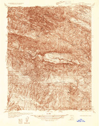
1942 Map of Parkfield
USGS Topo · Published 1956About this map
Parkfield sits as the central hub of this 1942 survey, where the Little Cholame Creek and Cholame Creek valleys meet. The landscape is defined by the sharp transition between the alluvial valley floors and the steep ridges of the Cholame Hills. This era reveals a working landscape of cattle ranching and mineral extraction, evidenced by named homesteads like Rancho del Charro, Hog Ranch, and Durham Ranch.
Find a feature on this map
18 named features on this map. Tap any name to fly to it.
Don’t see what you’re looking for? This feature index may not catch every label — zoom into the map to look around manually.
Map Details
Editions of this 1942 Parkfield Map
This is the sole edition of this map. No revisions or reprints were ever made.
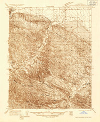
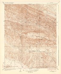
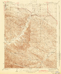
Other maps of this area

1912 · Coalinga
USGS Topo · 1:125,000

1914 · Cholame
USGS Topo · 1:125,000

1915 · Priest Valley
USGS Topo · 1:125,000

1915 · Cholame
USGS Topo · 1:125,000

1917 · Cholame
USGS Topo · 1:125,000

1919 · San Miguel
USGS Topo · 1:62,500
1934 · The Dark Hole
USGS Topo · 1:31,680
1936 · Kreyenhagen Hills
USGS Topo · 1:31,680
1937 · The Dark Hole
USGS Topo · 1:31,680
1941 · Kreyenhagen Hills
USGS Topo · 1:31,680