
1934 Map of The Dark Hole
USGS Topo · Published 1934About this map
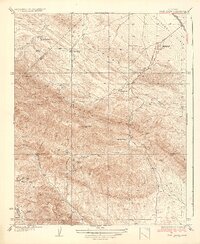
The Fresno Range and Reef Ridge dominate this 1934 topographic survey, which captures the remote intersection of Fresno, Kings, and Monterey counties. The landscape is defined by isolated family outposts and mining operations, including the King Mine and White Mine situated near the county lines. The titular Dark Hole sits between Black Mountain and the ridge, illustrating the deep, folded geography of the region before large-scale modernization.
Find a feature on this map
34 named features on this map. Tap any name to fly to it.
Don’t see what you’re looking for? This feature index may not catch every label — zoom into the map to look around manually.
Map Details
Editions of this 1934 The Dark Hole Map
This is the sole edition of this map. No revisions or reprints were ever made.
Other maps of this area

1912 · Coalinga
USGS Topo · 1:125,000

1914 · Cholame
USGS Topo · 1:125,000

1915 · Cholame
USGS Topo · 1:125,000

1917 · Cholame
USGS Topo · 1:125,000

1930 · Canoas Creek
USGS Topo · 1:31,680

1934 · Reef Ridge
USGS Topo · 1:31,680

1934 · Canoas Creek
USGS Topo · 1:31,680

1936 · Kreyenhagen Hills
USGS Topo · 1:31,680
1937 · Reef Ridge
USGS Topo · 1:31,680
1937 · The Dark Hole
USGS Topo · 1:31,680