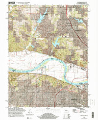
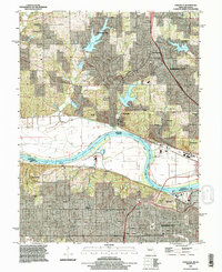
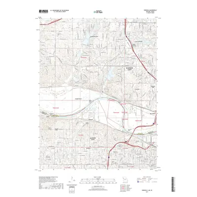
1996 Map of Parkville
USGS Topo · Published 2000About this map
Parkville and the surrounding river bluffs dominate this mid-1990s landscape, where the Missouri River forms a wide, sweeping boundary between Missouri and Kansas. The river's character is defined by significant landmarks like Pomeroy Bend and Quindaro Bend, flanked by extensive levee systems and the tracks of the Burlington Northern Santa Fe RR and Union Pacific RR.
Find a feature on this map
37 named features on this map. Tap any name to fly to it.
Don’t see what you’re looking for? This feature index may not catch every label — zoom into the map to look around manually.
Map Details
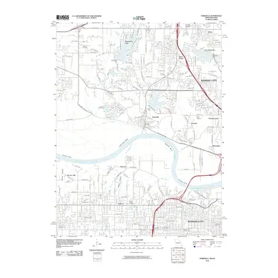
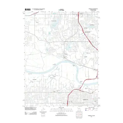
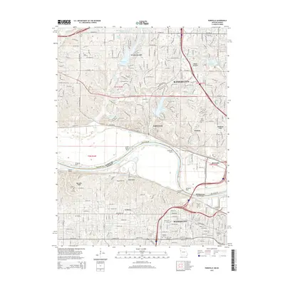
Editions of this 1996 Parkville Map
This is the sole edition of this map. No revisions or reprints were ever made.
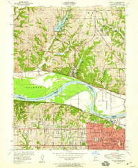
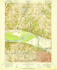
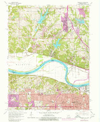
Historical Maps of Kansas City Through Time
10 maps found
1948 Parkville
Platte County, MO
1951 Parkville
Platte County, MO
1964 Parkville
Platte County, MO
1991 Parkville
Platte County, MO
1996 Parkville
Platte County, MO
2010 Parkville
Platte County, MO
2012 Parkville
Platte County, MO
2015 Parkville
Platte County, MO
2017 Parkville
Platte County, MO
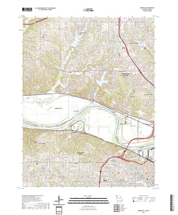
2021 Parkville
Platte County, MO