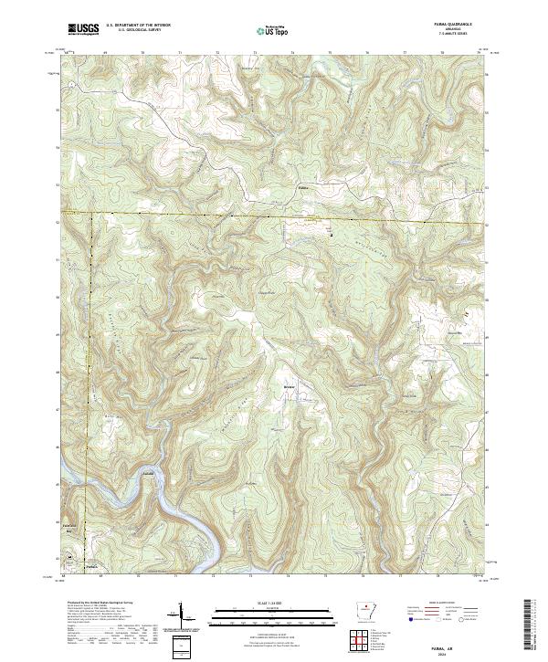
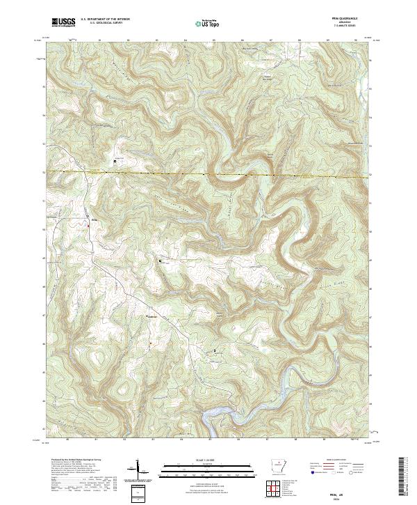
2024 Map of Parma
USGS Topo · Published 2024About this map
Parma and Brewer serve as the primary focal points of this northern Arkansas landscape, where the borders of Stone, Cleburne, and Van Buren Counties converge. The terrain is defined by a dense network of ridges and hollows, notably Nelson Ridge and Graham Ridge, which channel drainage toward Wild Goose Creek and Hill Creek. Local history and genealogy are preserved in the locations of Smart Cem and the Davis Special Cem, situated near the more developed area of Fairfield Bay in the southwest. A survey of the map reveals a mix of early settlement sites like Sandiff and Partain alongside newer residential markings like Hell Cat Hts. The presence of numerous named points such as Goldie Finch Point and peaks like Pond Mtn reflects a topography that dictated the winding paths of rural routes like Old Brewer Rd N and Sutton Rd.
Find a feature on this map
101 named features on this map. Tap any name to fly to it.
Don’t see what you’re looking for? This feature index may not catch every label — zoom into the map to look around manually.
Map Details
Editions of this 2024 Parma Map
This is the sole edition of this map. No revisions or reprints were ever made.
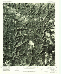
Historical Maps of Partain Through Time
13 maps found
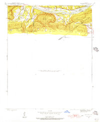
1942 Almond
Cleburne County, AR
1963 West Pangburn
Cleburne County, AR
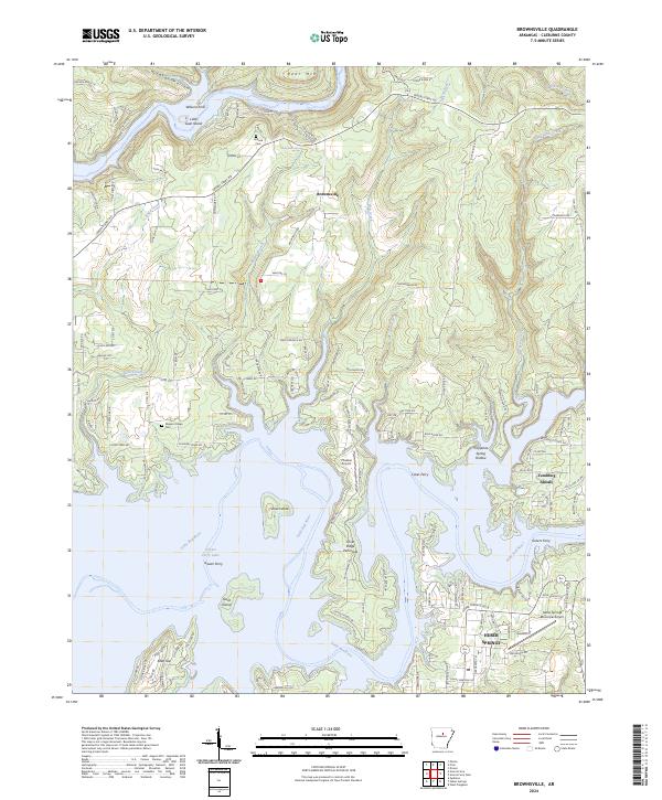
1973 Brownsville
Cleburne County, AR
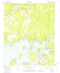
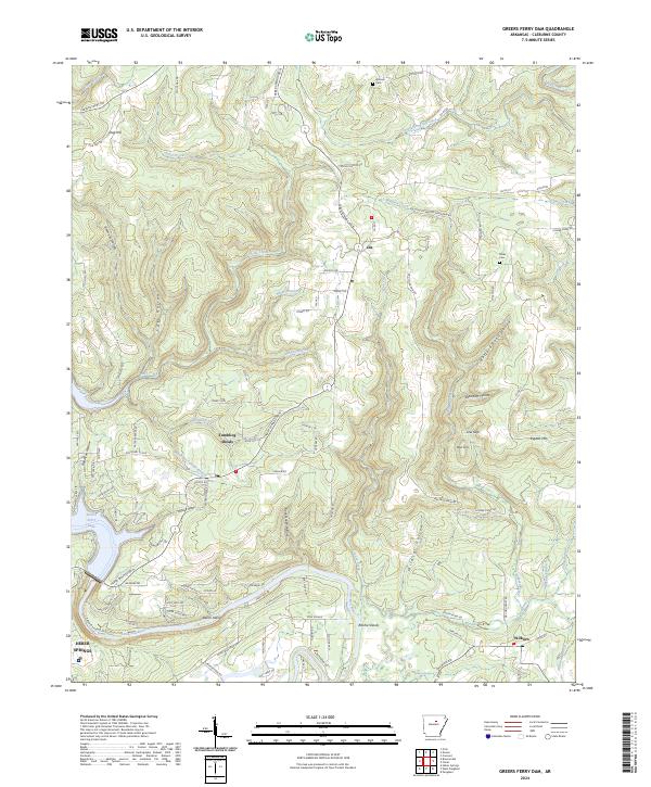
1973 Greers Ferry Dam
Cleburne County, AR
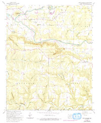
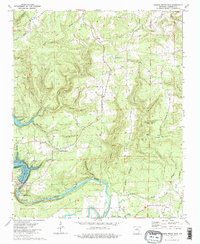
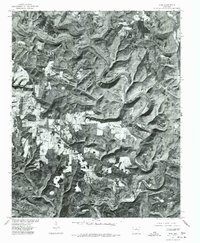
1973 Parma
Cleburne County, AR
1973 Prim
Cleburne County, AR
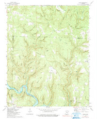
1976 Parma
Cleburne County, AR
1976 Prim
Cleburne County, AR
2024 Brownsville
Cleburne County, AR
2024 Greers Ferry Dam
Cleburne County, AR
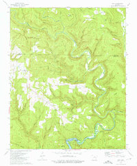
2024 Parma
Cleburne County, AR
2024 Prim
Cleburne County, AR
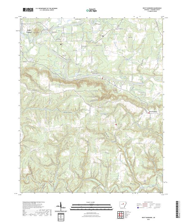
2024 West Pangburn
Cleburne County, AR