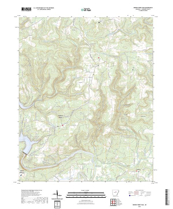
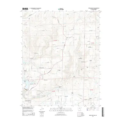
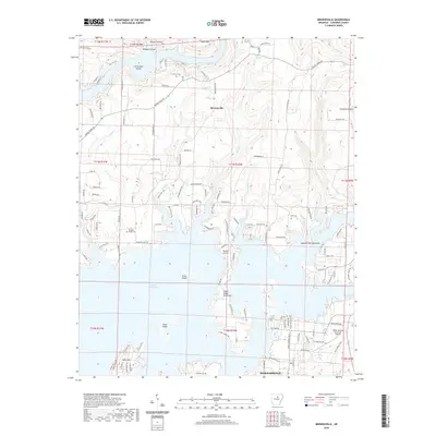
2024 Map of Greers Ferry Dam
USGS Topo · Published 2024About this map
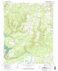
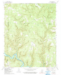
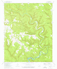
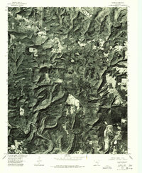
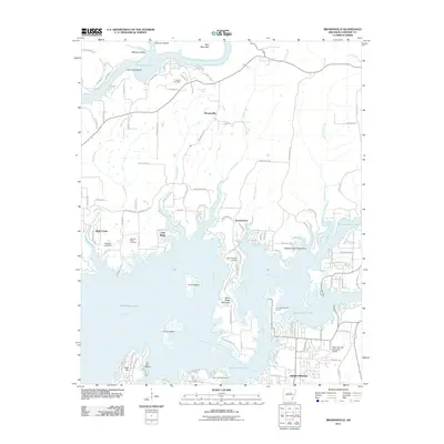
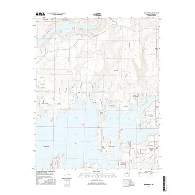
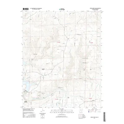
Heber Springs serves as the gateway to the massive Greers Ferry Lake impoundment, which dominates the southwestern portion of this Cleburne County terrain. The Little Red River snakes eastward from the dam, passing the Greers Ferry National Fish Hatchery and several notable river features like Cow Shoals and Ritchie Shoals. This landscape is defined by its dramatic relief, with high points such as Richwood Mountain and Rigdon Mtn overlooking a dense network of hollows including Buzzard Roost Hollow and Wildcat Hollow. Smaller settlements and communities such as Tumbling Shoals, Ida, and Wilburn are connected by a web of rural roads, while local history is preserved at sites like Antioch Cem and Miller Cem. The map illustrates the specialized water management infrastructure and the rugged upland geography of the Ozark foothills.
Find a feature on this map
114 named features on this map. Tap any name to fly to it.
Don’t see what you’re looking for? This feature index may not catch every label — zoom into the map to look around manually.
Map Details
Editions of this 2024 Greers Ferry Dam Map
This is the sole edition of this map. No revisions or reprints were ever made.
Historical Maps of Heber Springs Through Time
33 maps found
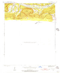
1942 Almond
Cleburne County, AR
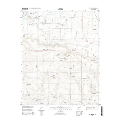
1963 West Pangburn
Cleburne County, AR
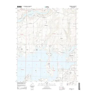
1973 Brownsville
Cleburne County, AR
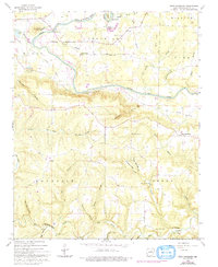
1973 Greers Ferry Dam
Cleburne County, AR
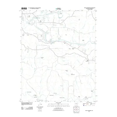
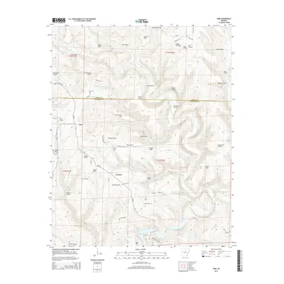
1973 Parma
Cleburne County, AR
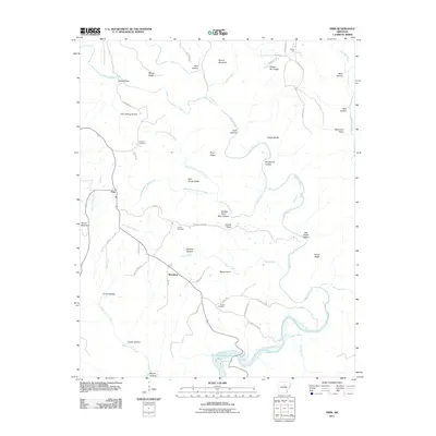
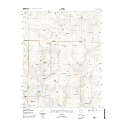
1973 Prim
Cleburne County, AR
1976 Parma
Cleburne County, AR
1976 Prim
Cleburne County, AR
2011 Brownsville
Cleburne County, AR
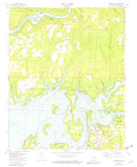
2011 Greers Ferry Dam
Cleburne County, AR
2011 Parma
Cleburne County, AR
2011 Prim
Cleburne County, AR
2011 West Pangburn
Cleburne County, AR
2014 Brownsville
Cleburne County, AR
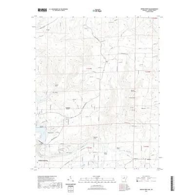
2014 Greers Ferry Dam
Cleburne County, AR
2014 Parma
Cleburne County, AR
2014 Prim
Cleburne County, AR
2014 West Pangburn
Cleburne County, AR
2017 Brownsville
Cleburne County, AR
2017 Greers Ferry Dam
Cleburne County, AR
2017 Parma
Cleburne County, AR
2017 Prim
Cleburne County, AR
2017 West Pangburn
Cleburne County, AR
2020 Brownsville
Cleburne County, AR
2020 Greers Ferry Dam
Cleburne County, AR
2020 Parma
Cleburne County, AR
2020 Prim
Cleburne County, AR
2020 West Pangburn
Cleburne County, AR
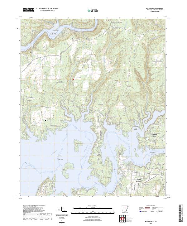
2024 Brownsville
Cleburne County, AR
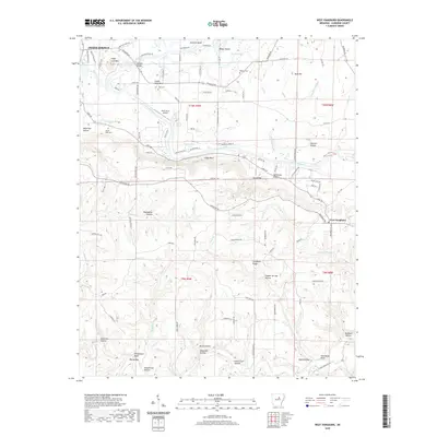
2024 Greers Ferry Dam
Cleburne County, AR
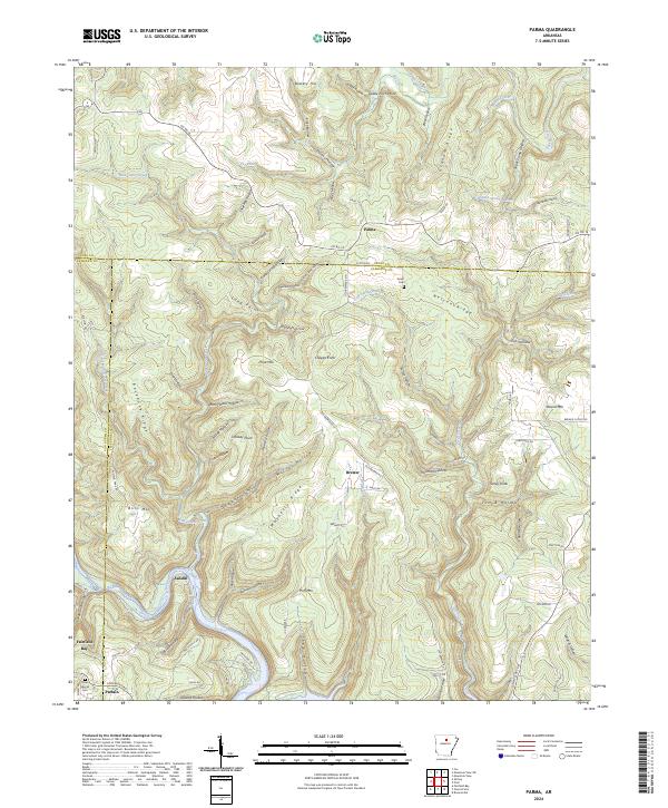
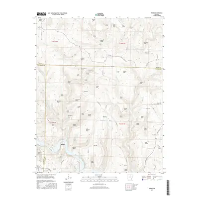
2024 Parma
Cleburne County, AR
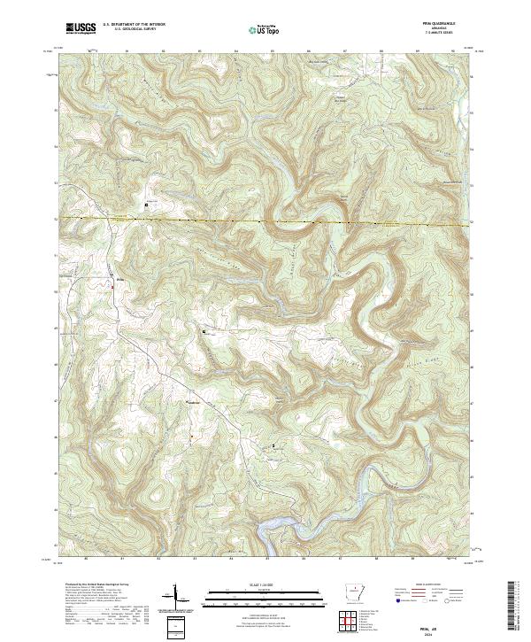
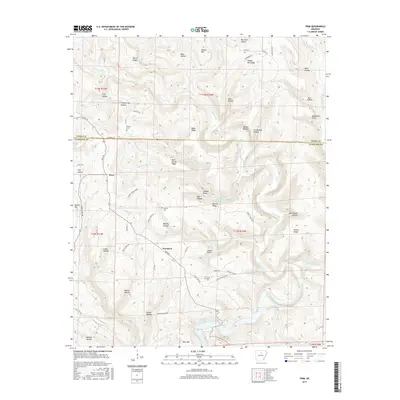
2024 Prim
Cleburne County, AR
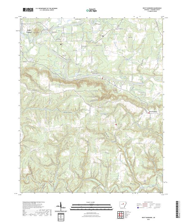
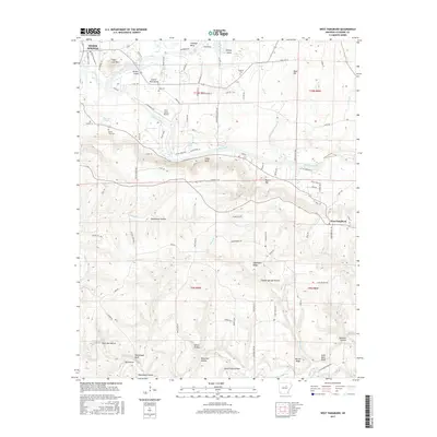
2024 West Pangburn
Cleburne County, AR