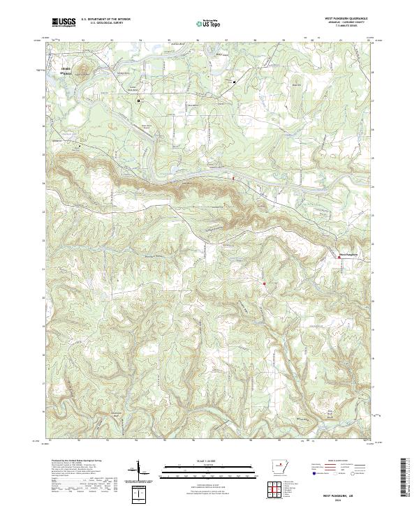
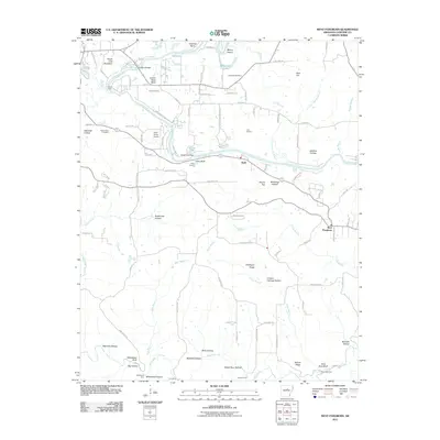
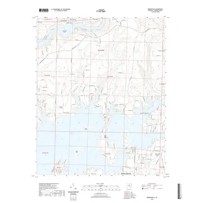
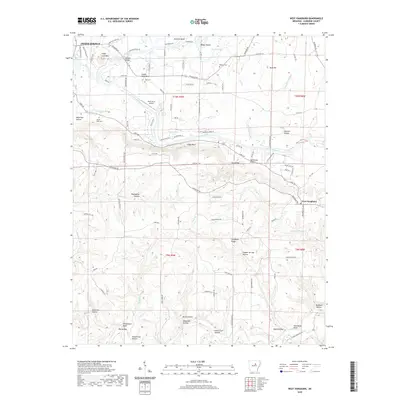
2024 Map of West Pangburn
USGS Topo · Published 2024About this map
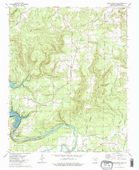
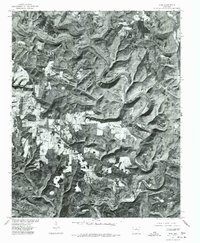
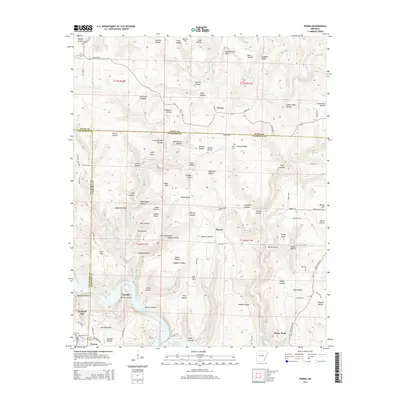
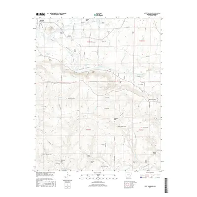
Little Red River meanders across this Cleburne County landscape, defining the geography through prominent bends like Cooter Neck Bend and Andrews Bend. The river serves as a focal point for historic crossings and community locations, including Turneys Ferry and the outskirts of Heber Springs. The terrain is characterized by a series of bluffs and ridges, such as Libby Bluff, Whitehead Bluff, and the high point of Sugar Loaf Mtn. Local family history is preserved in several burial grounds, including Mount Zion Cem and Magness Cem. While the settlement of West Pangburn sits on the eastern edge, the interior is a network of rural roads like Wilburn Rd and Pangburn Rd that connect isolated hollows, including Stillhouse Hollow and Rockhouse Hollow, reflecting a long history of timber and agricultural land use.
Find a feature on this map
73 named features on this map. Tap any name to fly to it.
Don’t see what you’re looking for? This feature index may not catch every label — zoom into the map to look around manually.
Map Details
Editions of this 2024 West Pangburn Map
This is the sole edition of this map. No revisions or reprints were ever made.
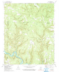
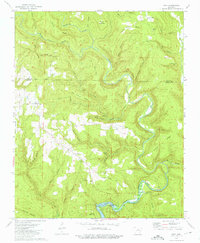
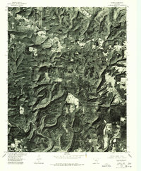
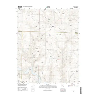
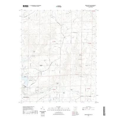
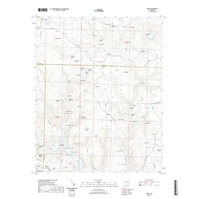
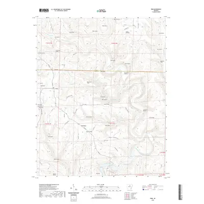
Historical Maps of Heber Springs Through Time
33 maps found
1942 Almond
Cleburne County, AR
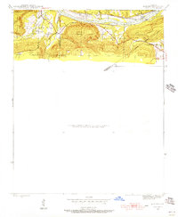
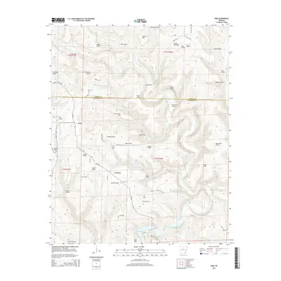
1963 West Pangburn
Cleburne County, AR
1973 Brownsville
Cleburne County, AR
1973 Greers Ferry Dam
Cleburne County, AR
1973 Parma
Cleburne County, AR
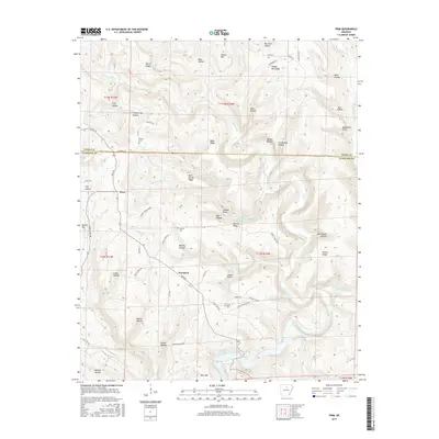
1973 Prim
Cleburne County, AR
1976 Parma
Cleburne County, AR
1976 Prim
Cleburne County, AR
2011 Brownsville
Cleburne County, AR
2011 Greers Ferry Dam
Cleburne County, AR
2011 Parma
Cleburne County, AR
2011 Prim
Cleburne County, AR
2011 West Pangburn
Cleburne County, AR
2014 Brownsville
Cleburne County, AR
2014 Greers Ferry Dam
Cleburne County, AR
2014 Parma
Cleburne County, AR
2014 Prim
Cleburne County, AR
2014 West Pangburn
Cleburne County, AR
2017 Brownsville
Cleburne County, AR
2017 Greers Ferry Dam
Cleburne County, AR
2017 Parma
Cleburne County, AR
2017 Prim
Cleburne County, AR
2017 West Pangburn
Cleburne County, AR
2020 Brownsville
Cleburne County, AR
2020 Greers Ferry Dam
Cleburne County, AR
2020 Parma
Cleburne County, AR
2020 Prim
Cleburne County, AR
2020 West Pangburn
Cleburne County, AR
2024 Brownsville
Cleburne County, AR
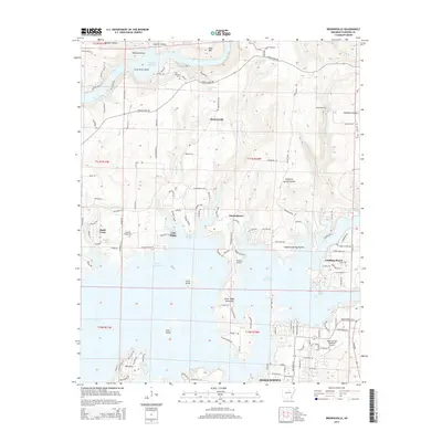
2024 Greers Ferry Dam
Cleburne County, AR
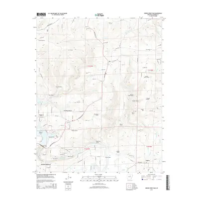
2024 Parma
Cleburne County, AR
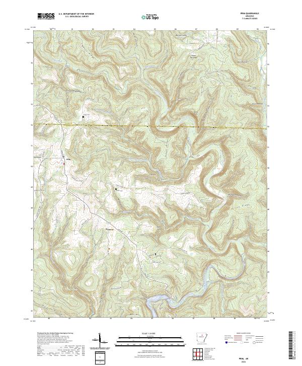
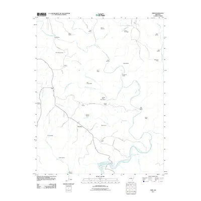
2024 Prim
Cleburne County, AR
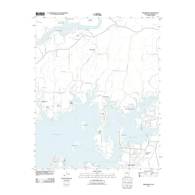
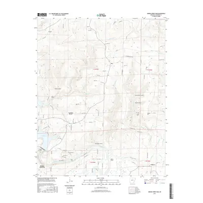
2024 West Pangburn
Cleburne County, AR