
1962 Map of Letona
USGS Topo · Published 1964About this map
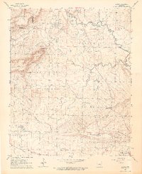
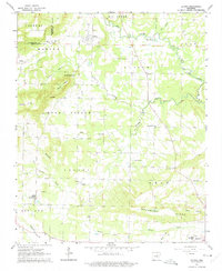
Letona anchors the northern portion of this 1962 topographic survey, sitting just south of the winding course of Big Creek. The landscape of White County is defined here by the transition from the rolling elevations of Mount Pisgah and Backbone Ridge to the complex network of stream branches including Panther Branch, Lick Branch, and Anders Branch. A notable historical detail is the Railroad Grade running north-south through the center of the sheet, indicating a former transport corridor that once connected these rural communities.
Find a feature on this map
41 named features on this map. Tap any name to fly to it.
Don’t see what you’re looking for? This feature index may not catch every label — zoom into the map to look around manually.
Map Details
Editions of this 1962 Letona Map
3 editions found
Other maps of this area

1932 · Kensett
USGS Topo · 1:62,500

1935 · Kensett
USGS Topo · 1:62,500

1935 · Bald Knob
USGS Topo · 1:62,500

1953 · Memphis
USGS Topo · 1:250,000

1956 · Memphis
USGS Topo · 1:250,000

1962 · Pangburn
USGS Topo · 1:24,000

1963 · Garner
USGS Topo · 1:24,000

1963 · Floyd
USGS Topo · 1:24,000

1963 · West Pangburn
USGS Topo · 1:24,000

1963 · Sidon
USGS Topo · 1:24,000