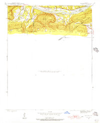
1942 Map of Almond
USGS Topo · Published 1956About this map
The White River corridor dominates this 1942 landscape, serving as the primary geographical and economic axis between Independence and Cleburne counties. Along its northern banks, the Missouri Pacific railroad tracks follow the river's curve, passing landmark river features like Foushee I and the infrastructure at Lock 2. The small settlement of Melrose provides a focal point for local history, complete with the Melrose Sch and nearby Brier Creek.
Find a feature on this map
19 named features on this map. Tap any name to fly to it.
Don’t see what you’re looking for? This feature index may not catch every label — zoom into the map to look around manually.
Map Details
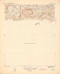
Editions of this 1942 Almond Map
3 editions found
Other maps of this area

1890 · Batesville
USGS Topo · 1:125,000

1891 · Batesville
USGS Topo · 1:125,000

1942 · Bethesda
USGS Topo · 1:24,000

1942 · Jamestown
USGS Topo · 1:31,680

1942 · Almond
USGS Topo · 1:31,680

1942 · Batesville
USGS Topo · 1:31,680

1943 · Batesville
USGS Topo · 1:24,000

1953 · Memphis
USGS Topo · 1:250,000

1956 · Memphis
USGS Topo · 1:250,000

1965 · Pleasant Plains
USGS Topo · 1:24,000