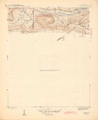
1942 Map of Almond
USGS Topo · Published 1945About this map
Earnhearts Ferry and the White River corridor define this 1940s landscape at the junction of Stone, Independence, and Cleburne counties. The river acts as a central artery for transportation and industry, evidenced by the presence of Lock 2 and the Missouri Pacific railroad line following the northern bank. Small upland settlements like Melrose and Earnheart are connected by local landmarks such as Melrose Sch and the Cherokee (Old) road.
Find a feature on this map
22 named features on this map. Tap any name to fly to it.
Don’t see what you’re looking for? This feature index may not catch every label — zoom into the map to look around manually.
Map Details
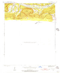
Editions of this 1942 Almond Map
3 editions found
Other maps of this area

1890 · Batesville
USGS Topo · 1:125,000

1891 · Batesville
USGS Topo · 1:125,000

1942 · Bethesda
USGS Topo · 1:24,000

1942 · Jamestown
USGS Topo · 1:31,680

1942 · Almond
USGS Topo · 1:31,680

1942 · Batesville
USGS Topo · 1:31,680

1943 · Batesville
USGS Topo · 1:24,000

1953 · Memphis
USGS Topo · 1:250,000

1956 · Memphis
USGS Topo · 1:250,000

1965 · Pleasant Plains
USGS Topo · 1:24,000