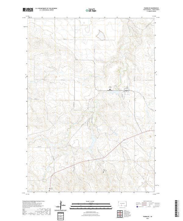
2021 Map of Parmelee
USGS Topo · Published 2021About this map
Parmelee serves as the central hub of this landscape, situated at the intersection of several local routes. The geography is defined by a network of drainage systems, including Cut Meat Cr and Magpie Cr, which carve through the plains. For researchers and genealogists, the map preserves the locations of several community landmarks, notably Holy Innocents Cem near the town center and the more outlying White Horse Cem and Hollow Horn Bear Cem.
Find a feature on this map
29 named features on this map. Tap any name to fly to it.
Don’t see what you’re looking for? This feature index may not catch every label — zoom into the map to look around manually.
Map Details
Editions of this 2021 Parmelee Map
This is the sole edition of this map. No revisions or reprints were ever made.
Other maps of this area

1955 · Martin
USGS Topo · 1:250,000

1958 · Martin
USGS Topo · 1:250,000

1969 · Norris
USGS Topo · 1:24,000

1969 · Eagle Mans Butte
USGS Topo · 1:24,000

1969 · Parmelee NE
USGS Topo · 1:24,000

1969 · Soldier Creek
USGS Topo · 1:24,000

1969 · Parmelee
USGS Topo · 1:24,000

1969 · Soldier Creek NW
USGS Topo · 1:24,000

1969 · Iron Shell Flat East
USGS Topo · 1:24,000

1969 · Iron Shell Flat West
USGS Topo · 1:24,000