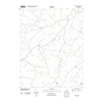
2010 Map of Parnassus
USGS Topo · Published 2010About this map
Natural Chimneys stands as a prominent geological landmark along the North River in this rural Augusta County landscape. The area is defined by a dense network of small agricultural settlements and historically significant valley roads, including Mount Solon, Moscow, and the village of Parnassus. The terrain transitions from the elevations of Narrow Back Rd and the Towers area in the northwest down into the fertile drainage basins of Mossy Creek and Long Glade Creek.
Find a feature on this map
66 named features on this map. Tap any name to fly to it.
Don’t see what you’re looking for? This feature index may not catch every label — zoom into the map to look around manually.
Map Details
Editions of this 2010 Parnassus Map
This is the sole edition of this map. No revisions or reprints were ever made.
Other maps of this area

1892 · Harrisonburg
USGS Topo · 1:125,000

1894 · Staunton
USGS Topo · 1:125,000

1934 · Waynesboro
USGS Topo · 1:48,000

1939 · Waynesboro
USGS Topo · 1:62,500

1941 · Harrisonburg
USGS Topo · 1:62,500

1943 · Harrisonburg
USGS Topo · 1:62,500

1944 · Parnassus
USGS Topo · 1:62,500

1944 · Staunton
USGS Topo · 1:62,500

1947 · Staunton
USGS Topo · 1:62,500

1947 · Parnassus
USGS Topo · 1:62,500