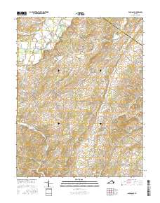
2016 Map of Parnassus
USGS Topo · Published 2016About this map
Natural Chimneys stands as a prominent landmark in this landscape where the North River meets the rural crossroads of Mount Solon. The area is characterized by the broad Glade Valley and the winding Middle River at its southern edge, supporting a series of small, established communities. Settled points like Parnassus, Moscow, and Roman are connected by a network of local roads including Kyles Mill Rd and Bridgewater Rd. The terrain is shaped by several waterways such as Mossy Cr and Long Glade Cr, which flow through features like Possum Hollow and towards the Rockingham and Augusta County line. Family-named roads like Joseph Rd and Reeves Rd suggest deep-rooted local history in this Shenandoah Valley region.
Find a feature on this map
86 named features on this map. Tap any name to fly to it.
Don’t see what you’re looking for? This feature index may not catch every label — zoom into the map to look around manually.
Map Details
Editions of this 2016 Parnassus Map
This is the sole edition of this map. No revisions or reprints were ever made.
Other maps of this area

1892 · Harrisonburg
USGS Topo · 1:125,000

1894 · Staunton
USGS Topo · 1:125,000

1934 · Waynesboro
USGS Topo · 1:48,000

1939 · Waynesboro
USGS Topo · 1:62,500

1941 · Harrisonburg
USGS Topo · 1:62,500

1943 · Harrisonburg
USGS Topo · 1:62,500

1944 · Parnassus
USGS Topo · 1:62,500

1944 · Staunton
USGS Topo · 1:62,500

1947 · Staunton
USGS Topo · 1:62,500

1947 · Parnassus
USGS Topo · 1:62,500