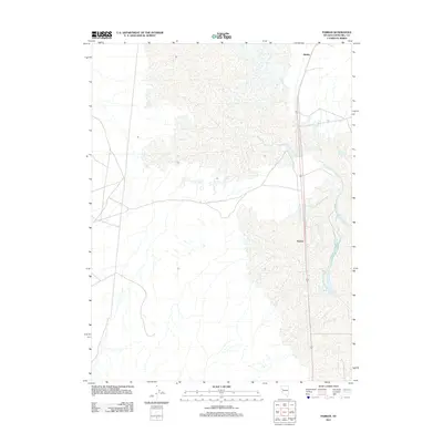
2011 Map of Parran
USGS Topo · Published 2011About this map
Parran and Huxley sit as small, isolated points of reference within the arid expanse of western Nevada. This 2011 survey captures the interaction between the desert basin and the vital hydrological passage of Humboldt Slough, which winds through the eastern portion of the landscape. The geography is defined by a sparse settlement pattern typical of the Great Basin, where human presence is concentrated along the north-south corridor of Route 95. The map records the contemporary footprint of these locations within Churchill County, illustrating how modern infrastructure follows the same natural routes established by historic migration and water patterns. The vast alkaline flats and subtle elevation shifts of the surrounding terrain highlight the remote character of this region between the Humboldt Sink and the Carson Sink.
Find a feature on this map
4 named features on this map. Tap any name to fly to it.
Don’t see what you’re looking for? This feature index may not catch every label — zoom into the map to look around manually.
Map Details
Editions of this 2011 Parran Map
This is the sole edition of this map. No revisions or reprints were ever made.
Other maps of this area

1908 · Carson Sink
USGS Topo · 1:250,000

1910 · Carson Sink
USGS Topo · 1:250,000

1950 · Stillwater
USGS Topo · 1:62,500

1951 · Soda Lake
USGS Topo · 1:62,500

1951 · Carson Sink
USGS Topo · 1:62,500

1951 · Desert Peak
USGS Topo · 1:62,500

1957 · Reno
USGS Topo · 1:250,000

1959 · Reno
USGS Topo · 1:250,000

1960 · Reno
USGS Topo · 1:250,000

1979 · Carson Sink
USGS Topo · 1:100,000