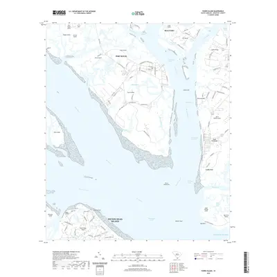
2020 Map of Parris Island
USGS Topo · Published 2020About this map
Parris Island and its surrounding coastal waterways dominate this detailed survey, revealing the intricate geography of the South Carolina Lowcountry. The military history of the region is etched into the landscape through the street names of Port Royal, which honor global conflicts and locations such as Saint Mihiel Rd, Guantanamo St, and Yorktown Blvd. To the east, the settlement of Fort Fremont stands near Lands End on Saint Helena Island, overlooking the Port Royal Sound and the Intracoastal Waterway.
Find a feature on this map
105 named features on this map. Tap any name to fly to it.
Don’t see what you’re looking for? This feature index may not catch every label — zoom into the map to look around manually.
Map Details
Editions of this 2020 Parris Island Map
This is the sole edition of this map. No revisions or reprints were ever made.
Other maps of this area

1920 · Okatie
USGS Topo · 1:62,500

1920 · Hilton Head
USGS Topo · 1:62,500

1920 · Bluffton
USGS Topo · 1:62,500

1942 · Okatie
USGS Topo · 1:62,500

1944 · Fort Fremont
USGS Topo · 1:62,500

1945 · Bluffton
USGS Topo · 1:62,500

1945 · Hilton Head
USGS Topo · 1:62,500

1947 · Savannah
USGS Topo · 1:250,000

1948 · Savannah
USGS Topo · 1:250,000

1956 · Frogmore
USGS Topo · 1:24,000