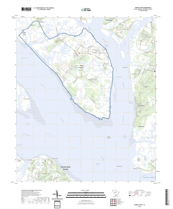
2024 Map of Parris Island
USGS Topo · Published 2024About this map
Parris Island dominates this coastal landscape, occupied by the extensive Mcrd installation where military roads like Saint Mihiel Rd and Belleau Wood Rd crisscross the terrain near Ballast Creek. The surrounding Lowcountry geography is a complex network of reaches and islands, including Saint Helena Island and the northern reaches of Hilton Head Island. Small coastal communities and landmarks are scattered throughout, from the historic Fort Fremont and Lands End to the inland Port Royal.
Find a feature on this map
106 named features on this map. Tap any name to fly to it.
Don’t see what you’re looking for? This feature index may not catch every label — zoom into the map to look around manually.
Map Details
Editions of this 2024 Parris Island Map
This is the sole edition of this map. No revisions or reprints were ever made.
Other maps of this area

1920 · Okatie
USGS Topo · 1:62,500

1920 · Hilton Head
USGS Topo · 1:62,500

1920 · Bluffton
USGS Topo · 1:62,500

1942 · Okatie
USGS Topo · 1:62,500

1944 · Fort Fremont
USGS Topo · 1:62,500

1945 · Bluffton
USGS Topo · 1:62,500

1945 · Hilton Head
USGS Topo · 1:62,500

1947 · Savannah
USGS Topo · 1:250,000

1948 · Savannah
USGS Topo · 1:250,000

1956 · Frogmore
USGS Topo · 1:24,000