
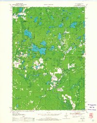
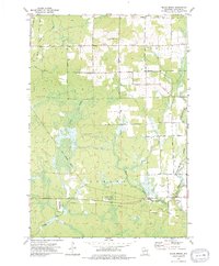
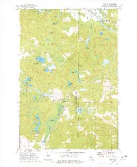
1940 Map of Parrish
USGS Topo · Published 1940This historical map portrays the area of Parrish in 1940, primarily covering Langlade County as well as portions of Oneida County and Lincoln County. Featuring a scale of 1:48000, this map provides a highly detailed snapshot of the terrain, roads, buildings, counties, and historical landmarks in the Parrish region at the time. Published in 1940, it is the sole known edition of this map.
Find a feature on this map
8 named features on this map. Tap any name to fly to it.
Don’t see what you’re looking for? This feature index may not catch every label — zoom into the map to look around manually.
Map Details
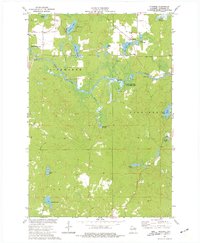
Editions of this 1940 Parrish Map
This is the sole edition of this map. No revisions or reprints were ever made.
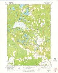
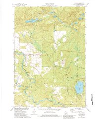
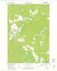
Historical Maps of Bundy Through Time
16 maps found
1940 Parrish
Langlade County, WI

1942 Pearson
Langlade County, WI
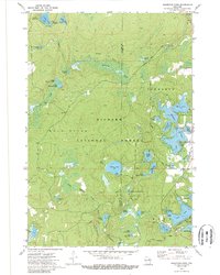
1950 Lily
Langlade County, WI
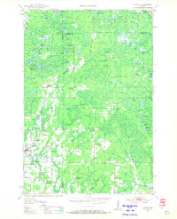
1950 Parrish
Langlade County, WI

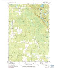
1952 Parrish
Langlade County, WI
1972 Reservoir Pond
Langlade County, WI
1973 Bavaria
Langlade County, WI
1973 Black Brook
Langlade County, WI

1973 Bryant
Langlade County, WI

1973 Enterprise
Langlade County, WI
1973 Kempster
Langlade County, WI
1973 Langlade
Langlade County, WI
1973 Lily
Langlade County, WI
1973 Pearson
Langlade County, WI
1973 Pickerel
Langlade County, WI
1973 Polar
Langlade County, WI