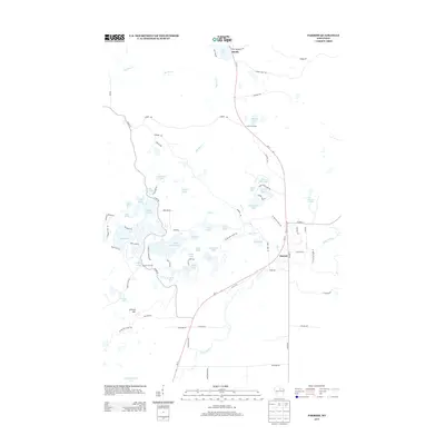
2013 Map of Parrish
USGS Topo · Published 2013About this map
Glacial geology and the sprawling Ice Age Natl Scenic Trl define this pocket of Lincoln County, where the landscape is densely pocked by kettle lakes and moraines. Small clusters of habitation concentrate at Parrish and Bundy, while rural junctions like Jeffris Junction and Paulson Junction mark the intersections of local county highways and logging roads. The terrain rises to a prominent point at Lookout Mtn in the southwest, overlooking a complex network of water bodies including Seven Island Lake, Moraine Lake, and the winding Prairie River. This 2013 survey illustrates a region largely shaped by its natural topography, where modern roads like Wi-17 follow the high ground between wetlands and water courses such as Big Pine Cr and Fish Cr, revealing a pattern of development dictated by the ice-carved earth.
Find a feature on this map
80 named features on this map. Tap any name to fly to it.
Don’t see what you’re looking for? This feature index may not catch every label — zoom into the map to look around manually.
Map Details
Editions of this 2013 Parrish Map
This is the sole edition of this map. No revisions or reprints were ever made.
Other maps of this area

1939 · Cassian
USGS Topo · 1:48,000

1940 · Parrish
USGS Topo · 1:48,000

1940 · Rhinelander
USGS Topo · 1:48,000

1942 · Cassian
USGS Topo · 1:48,000

1949 · Rhinelander
USGS Topo · 1:48,000

1950 · Parrish
USGS Topo · 1:48,000

1950 · Tomahawk
USGS Topo · 1:48,000

1952 · Parrish
USGS Topo · 1:48,000

1952 · Tomahawk
USGS Topo · 1:48,000

1954 · Iron Mountain
USGS Topo · 1:250,000