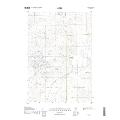
2018 Map of Parrish
USGS Topo · Published 2018About this map
Harrison Hills dominate this portion of the Wisconsin northwoods, a landscape defined by its dense concentration of glacial kettles and moraines. The settlement of Parrish serves as a local focal point near the Parrish Cem, while the hamlet of Bundy sits at the northern edge of the survey. The terrain is characterized by an intricate network of water bodies, including the sprawling Seven Island Lake, Long Lake, and Turtle Lake, alongside prominent high points like Lookout Mtn and Baldy Hill. This topography suggests a region heavily shaped by post-glacial drainage, where roads like Cinder Rd and Parrish Rd navigate between wetlands and upland ridges. The map captures a transition between the county lines of Oneida, Lincoln, and Langlade, reflecting a late 2010s view of a timber-and-recreation landscape.
Find a feature on this map
90 named features on this map. Tap any name to fly to it.
Don’t see what you’re looking for? This feature index may not catch every label — zoom into the map to look around manually.
Map Details
Editions of this 2018 Parrish Map
This is the sole edition of this map. No revisions or reprints were ever made.
Other maps of this area

1939 · Cassian
USGS Topo · 1:48,000

1940 · Parrish
USGS Topo · 1:48,000

1940 · Rhinelander
USGS Topo · 1:48,000

1942 · Cassian
USGS Topo · 1:48,000

1949 · Rhinelander
USGS Topo · 1:48,000

1950 · Parrish
USGS Topo · 1:48,000

1950 · Tomahawk
USGS Topo · 1:48,000

1952 · Parrish
USGS Topo · 1:48,000

1952 · Tomahawk
USGS Topo · 1:48,000

1954 · Iron Mountain
USGS Topo · 1:250,000