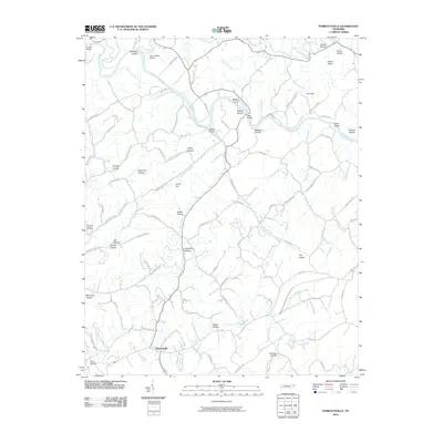
2010 Map of Parrottsville
USGS Topo · Published 2010About this map
Parrottsville serves as the focal point for this survey of the East Tennessee landscape, where the Nolichucky River carves a winding path through the limestone terrain of Cocke County. The river's influence is evident in the numerous named shoals and crossings, including Scruggs Shoals, Buleys Shoals, and the historic Hale Bridge. The topography is defined by a dense network of hollows often bearing family names, such as Phillips Hollow, Trantham Hollow, and Barger Hollow, suggesting a long history of local land ownership and settlement patterns along the small drainages of Clear Creek and Oven Creek.
Find a feature on this map
99 named features on this map. Tap any name to fly to it.
Don’t see what you’re looking for? This feature index may not catch every label — zoom into the map to look around manually.
Map Details
Editions of this 2010 Parrottsville Map
This is the sole edition of this map. No revisions or reprints were ever made.
Other maps of this area

1883 · Morristown
USGS Topo · 1:125,000

1892 · Greeneville
USGS Topo · 1:125,000

1893 · Mt Guyot
USGS Topo · 1:125,000

1893 · Morristown
USGS Topo · 1:125,000

1894 · Asheville
USGS Topo · 1:125,000

1895 · Morristown
USGS Topo · 1:125,000

1896 · Greeneville
USGS Topo · 1:125,000

1901 · Asheville
USGS Topo · 1:125,000

1904 · Greeneville
USGS Topo · 1:125,000

1912 · Mt Guyot
USGS Topo · 1:125,000