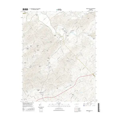
2016 Map of Parrottsville
USGS Topo · Published 2016About this map
Parrottsville sits at the heart of this landscape in eastern Cocke County, where the terrain transitions from the lowlands around Clear Cr and Brookside Mill to the winding course of the Nolichucky River. The river corridor is defined by numerous shallow water features, including Scruggs Shoals, Buleys Shoals, and Nelsons Shoals, which historically influenced local navigation and settlement patterns. The map documents a dense network of family-named hollows and hills, such as Keesel Hollow, Baysinger Hollow, and Lynch Hill, reflecting generations of Appalachian land tenure.
Find a feature on this map
137 named features on this map. Tap any name to fly to it.
Don’t see what you’re looking for? This feature index may not catch every label — zoom into the map to look around manually.
Map Details
Editions of this 2016 Parrottsville Map
This is the sole edition of this map. No revisions or reprints were ever made.
Other maps of this area

1883 · Morristown
USGS Topo · 1:125,000

1892 · Greeneville
USGS Topo · 1:125,000

1893 · Mt Guyot
USGS Topo · 1:125,000

1893 · Morristown
USGS Topo · 1:125,000

1894 · Asheville
USGS Topo · 1:125,000

1895 · Morristown
USGS Topo · 1:125,000

1896 · Greeneville
USGS Topo · 1:125,000

1901 · Asheville
USGS Topo · 1:125,000

1904 · Greeneville
USGS Topo · 1:125,000

1912 · Mt Guyot
USGS Topo · 1:125,000