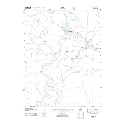
2011 Map of Parsons
USGS Topo · Published 2011About this map
Shavers Fork and the Black Fork converge in this West Virginia landscape, framing the central settlement of Parsons. The town serves as a focal point for the surrounding mountain terrain, with the Parsons Post Office situated near the riverbanks. To the east, the neighboring communities of Hambleton and Hendricks sit along the winding water, where several family burial sites including Goff Cemetery, Collett Cemetery, and McNeely Cemetery provide valuable geographic markers for genealogical research.
Find a feature on this map
70 named features on this map. Tap any name to fly to it.
Don’t see what you’re looking for? This feature index may not catch every label — zoom into the map to look around manually.
Map Details
Editions of this 2011 Parsons Map
This is the sole edition of this map. No revisions or reprints were ever made.
Other maps of this area

1886 · St. George
USGS Topo · 1:125,000

1889 · Beverly
USGS Topo · 1:125,000

1891 · St. George
USGS Topo · 1:125,000

1892 · Beverly
USGS Topo · 1:125,000

1907 · Belington
USGS Topo · 1:62,500

1908 · Parsons
USGS Topo · 1:62,500

1909 · Elkins
USGS Topo · 1:62,500

1922 · Horton
USGS Topo · 1:48,000

1924 · Horton
USGS Topo · 1:62,500

1926 · Parsons
USGS Topo · 1:62,500