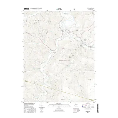
2016 Map of Parsons
USGS Topo · Published 2016About this map
The town of Parsons sits at the confluence of the Black Fork and Shavers Fork, a critical junction where the river-and-rail geography of Tucker County is clearly defined. This survey documents the area's transition into a center for outdoor recreation within the Monongahela National Forest, as evidenced by the presence of the Allegheny Highlands Rail-Trail and the American Discovery Trail. These modern corridors trace the historical paths of the region's industrial past, connecting settlements like Hambleton, Hendricks, and Porterwood.
Find a feature on this map
69 named features on this map. Tap any name to fly to it.
Don’t see what you’re looking for? This feature index may not catch every label — zoom into the map to look around manually.
Map Details
Editions of this 2016 Parsons Map
This is the sole edition of this map. No revisions or reprints were ever made.
Other maps of this area

1886 · St. George
USGS Topo · 1:125,000

1889 · Beverly
USGS Topo · 1:125,000

1891 · St. George
USGS Topo · 1:125,000

1892 · Beverly
USGS Topo · 1:125,000

1907 · Belington
USGS Topo · 1:62,500

1908 · Parsons
USGS Topo · 1:62,500

1909 · Elkins
USGS Topo · 1:62,500

1922 · Horton
USGS Topo · 1:48,000

1924 · Horton
USGS Topo · 1:62,500

1926 · Parsons
USGS Topo · 1:62,500