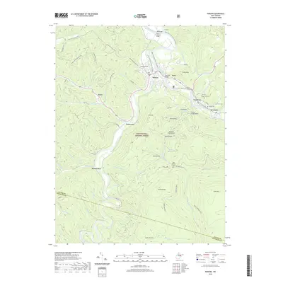
2019 Map of Parsons
USGS Topo · Published 2019About this map
Parsons serves as the central hub of this 2019 survey, where the Cheat River and Black Fork converge amidst the dense woodlands of the Monongahela National Forest. The landscape is defined by the steep drainages of Pheasant Mountain and McGowan Mtn, with narrow valleys housing established settlements like Hambleton, Hendricks, and Porterwood. For genealogists, the map identifies several family-named burial sites including Goff Cem, Collett Cem, and Fansler Cem located along the river bends east of the county seat.
Find a feature on this map
68 named features on this map. Tap any name to fly to it.
Don’t see what you’re looking for? This feature index may not catch every label — zoom into the map to look around manually.
Map Details
Editions of this 2019 Parsons Map
This is the sole edition of this map. No revisions or reprints were ever made.
Other maps of this area

1886 · St. George
USGS Topo · 1:125,000

1889 · Beverly
USGS Topo · 1:125,000

1891 · St. George
USGS Topo · 1:125,000

1892 · Beverly
USGS Topo · 1:125,000
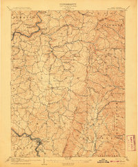
1907 · Belington
USGS Topo · 1:62,500
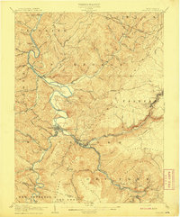
1908 · Parsons
USGS Topo · 1:62,500
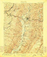
1909 · Elkins
USGS Topo · 1:62,500
1922 · Horton
USGS Topo · 1:48,000
1924 · Horton
USGS Topo · 1:62,500
1926 · Parsons
USGS Topo · 1:62,500