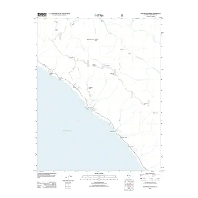
2012 Map of Partington Ridge
USGS Topo · Published 2012About this map
Partington Ridge rises steeply from the Pacific Ocean, anchoring a landscape defined by sharp canyons and high peaks like Anderson Peak. The coastal shelf is dotted with distinctive landmarks such as Partington Point and McWay Rocks, while the interior is marked by the winding courses of the Big Sur River and its various forks. This terrain, though largely without permanent settlements, is characterized by a network of seasonal waypoints and camps, including Sykes Camp, Barlow Flat Camp, and Cold Spring Camp.
Find a feature on this map
51 named features on this map. Tap any name to fly to it.
Don’t see what you’re looking for? This feature index may not catch every label — zoom into the map to look around manually.
Map Details
Editions of this 2012 Partington Ridge Map
This is the sole edition of this map. No revisions or reprints were ever made.
Other maps of this area

1918 · Point Sur
USGS Topo · 1:62,500

1920 · Jamesburg
USGS Topo · 1:48,000

1921 · Jamesburg
USGS Topo · 1:62,500

1921 · Lucia
USGS Topo · 1:62,500

1925 · Point Sur
USGS Topo · 1:62,500

1939 · Jamesburg
USGS Topo · 1:62,500

1940 · Jamesburg
USGS Topo · 1:62,500

1941 · Lucia
USGS Topo · 1:62,500

1947 · Lucia
USGS Topo · 1:62,500

1947 · Jamesburg
USGS Topo · 1:62,500