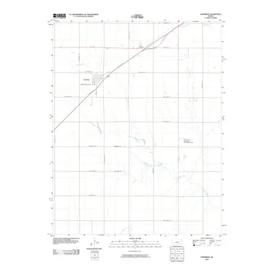
2009 Map of Partridge
USGS Topo · Published 2009About this map
Partridge serves as the primary hub of this Reno County landscape, where the town's residential grid transitions into a vast network of section roads and agricultural lands. The township is characterized by the winding course of Red Rock Creek, which meanders across the southern half of the quadrangle, and Sand Creek in the northeast corner. A notable institutional presence is the Kansas State University Experimental Farm, located east of S Dean Rd, reflecting the region's dedication to agricultural research and development.
Find a feature on this map
31 named features on this map. Tap any name to fly to it.
Don’t see what you’re looking for? This feature index may not catch every label — zoom into the map to look around manually.
Map Details
Editions of this 2009 Partridge Map
This is the sole edition of this map. No revisions or reprints were ever made.
Other maps of this area

1889 · Cheney
USGS Topo · 1:125,000

1891 · Hutchinson
USGS Topo · 1:125,000

1891 · Cheney
USGS Topo · 1:125,000

1892 · Kingman
USGS Topo · 1:125,000

1893 · Hutchinson
USGS Topo · 1:125,000

1894 · Kingman
USGS Topo · 1:125,000

1894 · Lyons
USGS Topo · 1:125,000

1901 · Cheney
USGS Topo · 1:125,000

1955 · Wichita
USGS Topo · 1:250,000

1955 · Great Bend
USGS Topo · 1:250,000