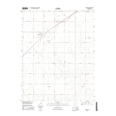
2015 Map of Partridge
USGS Topo · Published 2015About this map
Partridge serves as the primary hub of this agricultural landscape in Reno County, where the grid of sectional roads meets the diagonal passage of the railroad. The township structure is clearly defined by historical property lines and boundaries such as t24s r7w and t25s r7w. Local genealogy is anchored by the Partridge Cem near the town center and the Center Cem further north along Mills Ave. The terrain is drained by the winding course of Red Rock Cr and Irish Cr, which break the geometric precision of the county's road network. This survey captures a moment in the mid-2010s where modern naming conventions like O'Hara Pl and Lake Cable Rd coexist with long-established regional thoroughfares like High Point Rd and Morgan Ave.
Find a feature on this map
39 named features on this map. Tap any name to fly to it.
Don’t see what you’re looking for? This feature index may not catch every label — zoom into the map to look around manually.
Map Details
Editions of this 2015 Partridge Map
This is the sole edition of this map. No revisions or reprints were ever made.
Other maps of this area

1889 · Cheney
USGS Topo · 1:125,000

1891 · Hutchinson
USGS Topo · 1:125,000

1891 · Cheney
USGS Topo · 1:125,000

1892 · Kingman
USGS Topo · 1:125,000

1893 · Hutchinson
USGS Topo · 1:125,000

1894 · Kingman
USGS Topo · 1:125,000

1894 · Lyons
USGS Topo · 1:125,000

1901 · Cheney
USGS Topo · 1:125,000

1955 · Wichita
USGS Topo · 1:250,000

1955 · Great Bend
USGS Topo · 1:250,000