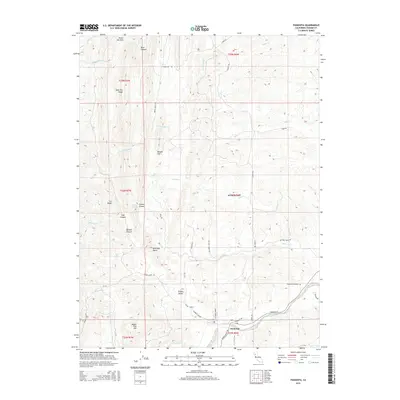
2015 Map of Paskenta
USGS Topo · Published 2015About this map
Paskenta serves as the focal point of this western Tehama County landscape, situated near the confluence of Digger Cr and Thomes Cr. The topography is defined by significant elevation changes, rising from the Nevada Bottom and Maupin Flat up toward prominent landmarks like Whitlock Butte and the high elevations of High Flat Ridge. These drainage systems, including S Fork Elder Cr and Mill Cr, have historically dictated the placement of mountain roads such as High Flat Rd and Toomes Camp Rd. Local history is anchored at the Paskenta Cemetery and the town's central Po. The area's complex drainage network, characterized by features like Duncan Canyon and Gordon Canyon, illustrates the transition from the flatlands toward the more complex foothills where names like Digger Pine Hill and Owens Butte mark the rugged terrain.
Find a feature on this map
48 named features on this map. Tap any name to fly to it.
Don’t see what you’re looking for? This feature index may not catch every label — zoom into the map to look around manually.
Map Details
Editions of this 2015 Paskenta Map
This is the sole edition of this map. No revisions or reprints were ever made.
Other maps of this area

1890 · Red Bluff
USGS Topo · 1:250,000

1894 · Red Bluff
USGS Topo · 1:250,000

1944 · Flournoy
USGS Topo · 1:62,500

1949 · Colyear Springs
USGS Topo · 1:62,500

1952 · Red Bank
USGS Topo · 1:24,000

1952 · Paskenta
USGS Topo · 1:62,500

1952 · Red Bank
USGS Topo · 1:62,500

1957 · Colyear Springs
USGS Topo · 1:62,500

1957 · Ukiah
USGS Topo · 1:250,000

1958 · Redding
USGS Topo · 1:250,000