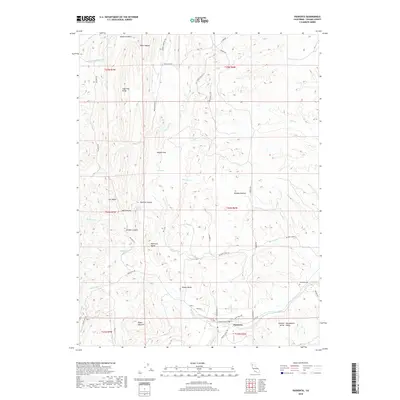
2018 Map of Paskenta
USGS Topo · Published 2018About this map
The settlement of Paskenta serves as the focal point for this survey of the western edge of the Central Sacramento Valley. Located near where the foothills transition into the floor of the valley, the area is defined by the convergence of multiple seasonal and perennial watercourses, including Thomes Creek and McCarty Creek. Local history is anchored by the Paskenta Cemetery and several named landform markers like Digger Pine Hill and Whitlock Butte. The network of backroads, such as Lowrey Cemetary Road and Sleepy Valley Lane, connects small pockets of settlement like Nevada Bottom and Rouse Gardens. The presence of Sulphur Springs and Uhl Spring suggests the hydrological complexity of this terrain, while the ridge systems like Cat Ridge and High Flat Ridge frame the canyons that drain into the Sacramento river system.
Find a feature on this map
50 named features on this map. Tap any name to fly to it.
Don’t see what you’re looking for? This feature index may not catch every label — zoom into the map to look around manually.
Map Details
Editions of this 2018 Paskenta Map
This is the sole edition of this map. No revisions or reprints were ever made.
Other maps of this area

1890 · Red Bluff
USGS Topo · 1:250,000

1894 · Red Bluff
USGS Topo · 1:250,000

1944 · Flournoy
USGS Topo · 1:62,500

1949 · Colyear Springs
USGS Topo · 1:62,500

1952 · Red Bank
USGS Topo · 1:24,000

1952 · Paskenta
USGS Topo · 1:62,500

1952 · Red Bank
USGS Topo · 1:62,500

1957 · Colyear Springs
USGS Topo · 1:62,500

1957 · Ukiah
USGS Topo · 1:250,000

1958 · Redding
USGS Topo · 1:250,000