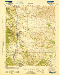
1943 Map of Paso Robles
USGS Topo · Published 1943About this map
The Salinas River valley serves as the central corridor for this mid-century topographic record, anchoring the growth of Paso Robles and its neighboring agricultural communities. The Southern Pacific Railroad parallels the river, connecting several small sidings and towns like Templeton and Wellsona. In the north, the Camp Roberts Military Reservation dominates the landscape, established just years prior as a training site during the war era.
Find a feature on this map
42 named features on this map. Tap any name to fly to it.
Don’t see what you’re looking for? This feature index may not catch every label — zoom into the map to look around manually.
Map Details
Editions of this 1943 Paso Robles Map
This is the sole edition of this map. No revisions or reprints were ever made.
Other maps of this area
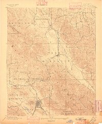
1897 · San Luis Obispo
USGS Topo · 1:62,500
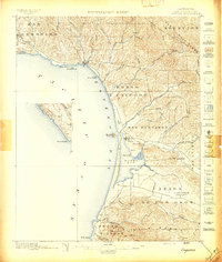
1897 · Cayucos
USGS Topo · 1:62,500
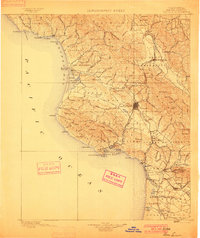
1900 · San Luis
USGS Topo · 1:125,000
1914 · Cholame
USGS Topo · 1:125,000
1915 · Cholame
USGS Topo · 1:125,000
1917 · Cholame
USGS Topo · 1:125,000
1919 · San Miguel
USGS Topo · 1:62,500
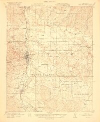
1919 · Paso Robles
USGS Topo · 1:62,500
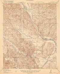
1919 · Bradley
USGS Topo · 1:62,500
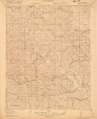
1919 · Adelaida
USGS Topo · 1:62,500