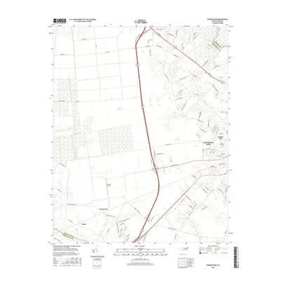
2016 Map of Pasquotank
USGS Topo · Published 2016About this map
Elizabeth City serves as the focal point of this coastal plain survey, situated where the urban grid meets the dense wetlands of the Great Dismal Swamp. The landscape is defined by the transition from city streets to timber and agricultural land, with the Intracoastal Waterway and Knobbs Creek providing critical water access. To the west, the settlement of Okisko and the community of Pasquotank are connected by a network of rural routes like Foreman Bundy Road and Pasquotank Station Road. This 2016 data illustrates a modern intersection of industrial sites like the Lumber Mill and local infrastructure, including Crabbe Airport and West Lawn Cemetery. The map captures the interface of established neighborhoods with the preserved natural expanse of the swamp, reflecting the region's enduring reliance on its unique geography.
Find a feature on this map
94 named features on this map. Tap any name to fly to it.
Don’t see what you’re looking for? This feature index may not catch every label — zoom into the map to look around manually.
Map Details
Editions of this 2016 Pasquotank Map
This is the sole edition of this map. No revisions or reprints were ever made.
Other maps of this area

1906 · Hertford
USGS Topo · 1:62,500

1940 · Hertford
USGS Topo · 1:62,500

1940 · Wade Point
USGS Topo · 1:62,500

1940 · South Mills
USGS Topo · 1:62,500

1943 · Wade Point
USGS Topo · 1:62,500

1948 · Wade Point
USGS Topo · 1:62,500

1948 · Elizabeth City
USGS Topo · 1:62,500

1952 · South Mills
USGS Topo · 1:62,500

1953 · Norfolk
USGS Topo · 1:250,000

1982 · Nixonton
USGS Topo · 1:24,000