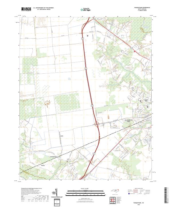
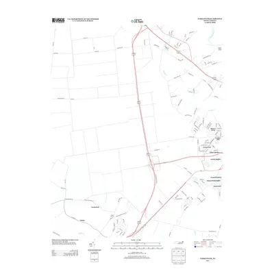
2022 Map of Pasquotank
USGS Topo · Published 2022About this map
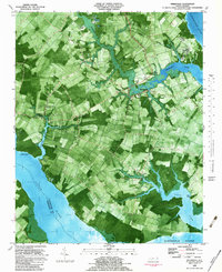
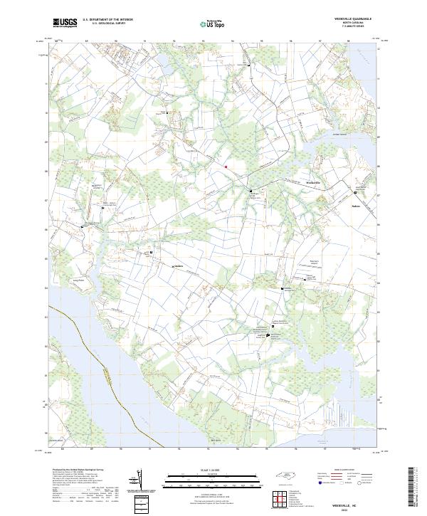
The Great Dismal Swamp dominates the northern reaches of this coastal plain landscape, where the wetland interface meets the agricultural and transit corridors of northeastern North Carolina. Near the southern edge of the swamp, the settlement of Elizabeth City serves as a focal point for the region's commerce and navigation, situated along the Pasquotank River and the vital Intracoastal Waterway. This area preserves a deep sense of family history, evidenced by numerous small burial grounds such as the Pritchard Family Cem, Morgan Cem, and Wood Family Cem. The map illustrates the transition from rural crossroads like Pasquotank and Okisko to the industrial presence of the Lumber Mill. Regional connectivity is defined by local aviation at Crabbe Airport and the drainage network of Knobbs Cr and the Little River, reflecting a landscape defined by its proximity to the water and the swamp.
Find a feature on this map
111 named features on this map. Tap any name to fly to it.
Don’t see what you’re looking for? This feature index may not catch every label — zoom into the map to look around manually.
Map Details
Editions of this 2022 Pasquotank Map
This is the sole edition of this map. No revisions or reprints were ever made.
Historical Maps of Elizabeth City Through Time
23 maps found

1940 Wade Point
Pasquotank County, NC

1943 Wade Point
Pasquotank County, NC
1948 Wade Point
Pasquotank County, NC
1982 Lynchs Corner
Pasquotank County, NC
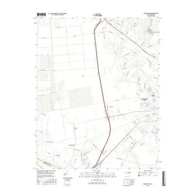
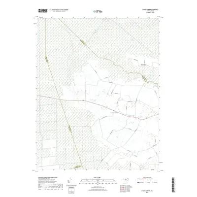
1982 Pasquotank
Pasquotank County, NC
1982 Weeksville
Pasquotank County, NC
1997 Lynchs Corner
Pasquotank County, NC
1997 Weeksville
Pasquotank County, NC
2010 Lynchs Corner
Pasquotank County, NC
2010 Pasquotank
Pasquotank County, NC
2010 Weeksville
Pasquotank County, NC
2013 Lynchs Corner
Pasquotank County, NC
2013 Pasquotank
Pasquotank County, NC
2013 Weeksville
Pasquotank County, NC
2016 Lynchs Corner
Pasquotank County, NC
2016 Pasquotank
Pasquotank County, NC
2016 Weeksville
Pasquotank County, NC
2019 Lynchs Corner
Pasquotank County, NC
2019 Pasquotank
Pasquotank County, NC
2019 Weeksville
Pasquotank County, NC
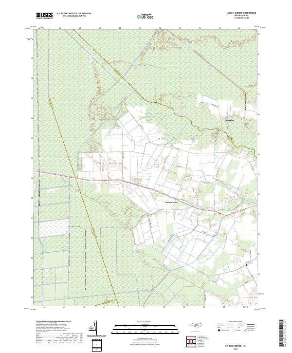
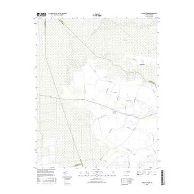
2022 Lynchs Corner
Pasquotank County, NC
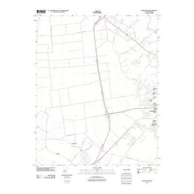
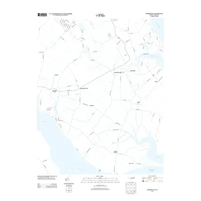
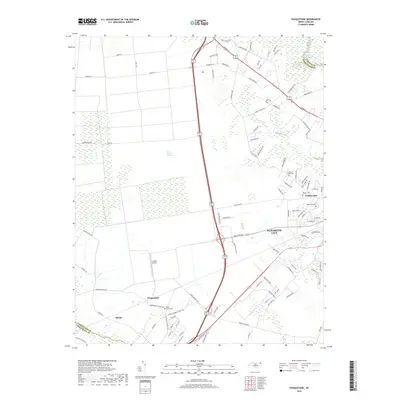
2022 Pasquotank
Pasquotank County, NC
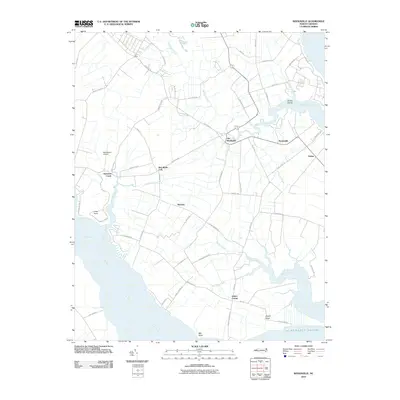
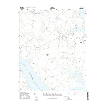
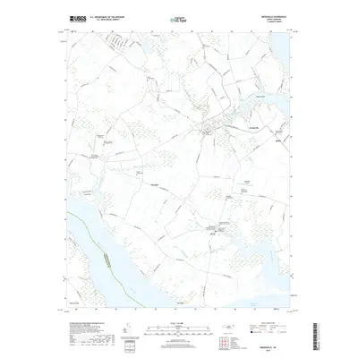
2022 Weeksville
Pasquotank County, NC