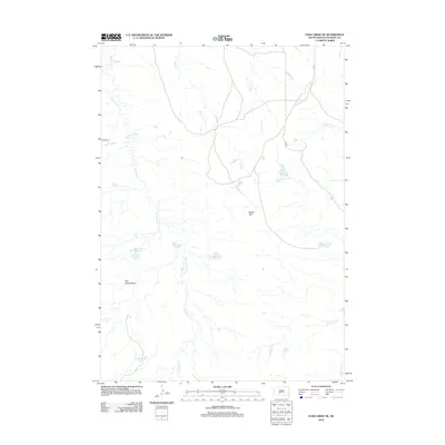
2012 Map of Pass Creek NE
USGS Topo · Published 2012About this map
Red Stone Cr and its many tributaries carve a intricate drainage pattern through Jackson County in this early 21st-century survey. The landscape is defined by its subtle variations in topography, ranging from the level expanse of Brown Flat to the more depressed Red Stone Basin in the southwest. Scattered throughout this semi-arid environment are several small impoundments such as Corral Pond, Red Rock Pond, and Rock Hill Pond, which suggest a land managed for livestock and water conservation in a region dominated by ranching and open range.
Find a feature on this map
15 named features on this map. Tap any name to fly to it.
Don’t see what you’re looking for? This feature index may not catch every label — zoom into the map to look around manually.
Map Details
Editions of this 2012 Pass Creek NE Map
This is the sole edition of this map. No revisions or reprints were ever made.
Other maps of this area

1951 · Pass Creek NW
USGS Topo · 1:24,000

1951 · Stamford SW
USGS Topo · 1:24,000

1951 · Belvidere
USGS Topo · 1:24,000

1951 · Belvidere SW
USGS Topo · 1:24,000

1951 · Cedar Butte NW
USGS Topo · 1:24,000

1951 · Pass Creek NE
USGS Topo · 1:24,000

1955 · Martin
USGS Topo · 1:250,000

1958 · Martin
USGS Topo · 1:250,000

1980 · Kadoka
USGS Topo · 1:100,000

1981 · Cedar Butte
USGS Topo · 1:25,000