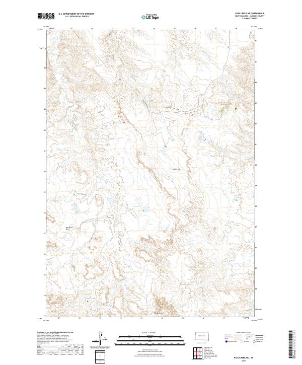
2021 Map of Pass Creek NE
USGS Topo · Published 2021About this map
Cedar Butte rises as a prominent landmark in this Jackson County landscape, overlooking a network of ephemeral drainages and isolated prairie water sources. The terrain is defined by the broad expanse of Brown Flat and the depressions of the Red Stone Basin, illustrating the unique geological erosion patterns of the region. Water management in this semi-arid environment is evidenced by named catchments such as Red Rock Pond, Corral Pond, and Badland Pond, which serve as vital points for local land use.
Find a feature on this map
22 named features on this map. Tap any name to fly to it.
Don’t see what you’re looking for? This feature index may not catch every label — zoom into the map to look around manually.
Map Details
Editions of this 2021 Pass Creek NE Map
This is the sole edition of this map. No revisions or reprints were ever made.
Other maps of this area

1951 · Pass Creek NW
USGS Topo · 1:24,000

1951 · Stamford SW
USGS Topo · 1:24,000

1951 · Belvidere
USGS Topo · 1:24,000

1951 · Belvidere SW
USGS Topo · 1:24,000

1951 · Cedar Butte NW
USGS Topo · 1:24,000

1951 · Pass Creek NE
USGS Topo · 1:24,000

1955 · Martin
USGS Topo · 1:250,000

1958 · Martin
USGS Topo · 1:250,000

1980 · Kadoka
USGS Topo · 1:100,000

1981 · Cedar Butte
USGS Topo · 1:25,000