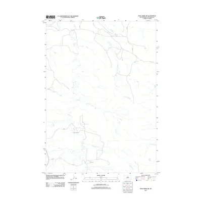
2012 Map of Pass Creek NW
USGS Topo · Published 2012About this map
Pettijohn Ranch and Rock Ranch sit among the drainages that define this corner of South Dakota just south of the White River. The landscape is dominated by a complex network of seasonal and perennial waterways, including Pass Cr, Nancy Hanks Cr, and Wild Horse Cr. This 2012 topographic record documents the rural character of Jackson County, showing how local county routes like CS 80 and CS 74 navigate the undulating terrain to connect these isolated ranching operations. The presence of Bowman Pond and Pearson Cr further illustrates the hydrological patterns that have historically dictated land use and settlement in this western prairie environment.
Find a feature on this map
15 named features on this map. Tap any name to fly to it.
Don’t see what you’re looking for? This feature index may not catch every label — zoom into the map to look around manually.
Map Details
Editions of this 2012 Pass Creek NW Map
This is the sole edition of this map. No revisions or reprints were ever made.
Other maps of this area

1951 · Pass Creek NW
USGS Topo · 1:24,000

1951 · Belvidere
USGS Topo · 1:24,000

1951 · Kadoka
USGS Topo · 1:24,000

1951 · Belvidere SW
USGS Topo · 1:24,000

1951 · Wanblee NE
USGS Topo · 1:24,000

1951 · Pass Creek NE
USGS Topo · 1:24,000

1955 · Martin
USGS Topo · 1:250,000

1958 · Martin
USGS Topo · 1:250,000

1980 · Kadoka
USGS Topo · 1:100,000

1981 · Broken Leg Dam
USGS Topo · 1:24,000