
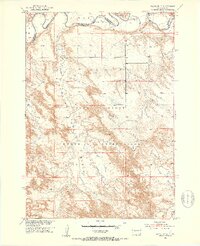
1951 Map of Wanblee NE
USGS Topo · Published 1953About this map
The White River carves a complex path across the northern boundary of this territory, where the Jackson Co Washabaugh Co line once met the river's edge. This landscape is defined by the extensive breaks and badlands of the Pine Ridge Indian Reservation, where dramatic elevation changes lead to prominent overlooks like Kodak Point. The map captures a moment in the mid-twentieth century when rural infrastructure was shifting; the Wells Sch (Abandoned) stands as a marker of former local educational centers in the uplands between Cottonwood Creek and the Pass Creek Basin. Scattered windmills and small Gravel Pits indicate a sparse, resource-based economy, while a Gaging Station along the river highlights the importance of water management in this arid stretch of South Dakota during the post-war era of Missouri River Basin development.
Find a feature on this map
12 named features on this map. Tap any name to fly to it.
Don’t see what you’re looking for? This feature index may not catch every label — zoom into the map to look around manually.
Map Details
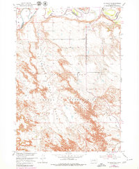
Editions of this 1951 Wanblee NE Map
3 editions found
Other maps of this area

1950 · Wanblee
USGS Topo · 1:24,000

1950 · Weta
USGS Topo · 1:24,000

1951 · Wanblee NW
USGS Topo · 1:24,000

1951 · Pass Creek NW
USGS Topo · 1:24,000

1951 · Kadoka
USGS Topo · 1:24,000

1951 · Belvidere SW
USGS Topo · 1:24,000

1955 · Martin
USGS Topo · 1:250,000

1958 · Martin
USGS Topo · 1:250,000

1980 · Kadoka
USGS Topo · 1:100,000

1981 · Broken Leg Dam
USGS Topo · 1:24,000