
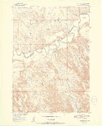
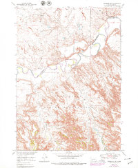
1951 Map of Wanblee NW
USGS Topo · Published 1951About this map
Pine Ridge Indian Reservation lands dominate this mid-century topographic study, which reveals the complex erosional geography of southwestern South Dakota. The winding course of the White River carves through the landscape, defining a jagged Reservation Boundary and creating a series of intricate bluffs and drainage patterns. Small tributaries like Fifteen Creek and Long Creek feed into the river valley, illustrating the stark badlands terrain that characterizes the area north of the river.
Find a feature on this map
11 named features on this map. Tap any name to fly to it.
Don’t see what you’re looking for? This feature index may not catch every label — zoom into the map to look around manually.
Map Details
Editions of this 1951 Wanblee NW Map
3 editions found
Other maps of this area

1950 · Interior SE
USGS Topo · 1:24,000

1950 · Wanblee
USGS Topo · 1:24,000

1950 · Weta
USGS Topo · 1:24,000

1951 · School Section Butte
USGS Topo · 1:24,000

1951 · Kadoka
USGS Topo · 1:24,000

1951 · Wanblee NE
USGS Topo · 1:24,000

1955 · Martin
USGS Topo · 1:250,000

1958 · Martin
USGS Topo · 1:250,000
1961 · Cottonwood SE
USGS Topo · 1:24,000

1980 · Kadoka
USGS Topo · 1:100,000