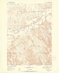
1951 Map of Wanblee NW
USGS Topo · Published 1951About this map
The White River carves a sharp, meandering path through this western South Dakota landscape, defining the northern extent of the Pine Ridge Indian Reservation. Surveyed in the late 1940s, the terrain shows the high, eroded formations of the Wall to the north and the complex drainage systems that feed the river, including Fifteen Creek, Craven Creek, and Long Creek. Evidence of early rural education appears at the Weta Sch, located just north of the river's winding channel. The map also delineates the administrative intersection of Jackson Co and Washabaugh Co, providing a clear view of the Reservation Boundary as it follows the river's natural course. This topography illustrates the interplay between significant water sources and the semi-arid plains during the mid-century development of the Missouri River Basin.
Find a feature on this map
10 named features on this map. Tap any name to fly to it.
Don’t see what you’re looking for? This feature index may not catch every label — zoom into the map to look around manually.
Map Details
Editions of this 1951 Wanblee NW Map
3 editions found
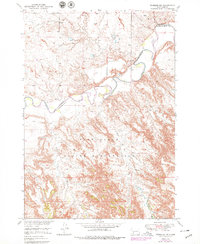
Other maps of this area

1950 · Interior SE
USGS Topo · 1:24,000

1950 · Wanblee
USGS Topo · 1:24,000

1950 · Weta
USGS Topo · 1:24,000

1951 · Wanblee NW
USGS Topo · 1:24,000

1951 · School Section Butte
USGS Topo · 1:24,000

1951 · Kadoka
USGS Topo · 1:24,000

1951 · Wanblee NE
USGS Topo · 1:24,000

1955 · Martin
USGS Topo · 1:250,000

1958 · Martin
USGS Topo · 1:250,000
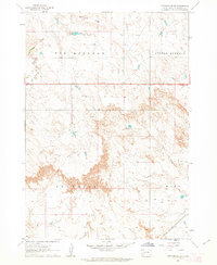
1961 · Cottonwood SE
USGS Topo · 1:24,000