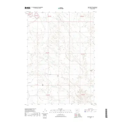
2017 Map of Pass Creek NW
USGS Topo · Published 2017About this map
The White River flows across the northwestern corner of this Jackson County landscape, carving through a region defined by extensive drainage systems and topographical basins. Central to the area is the Pass Creek Basin, where Pass Cr is joined by tributaries including Pearson Cr and Wild Horse Cr. The land is marked by distinct geological depressions like the Red Stone Basin in the east, illustrating the erosional character of the South Dakota plains.
Find a feature on this map
18 named features on this map. Tap any name to fly to it.
Don’t see what you’re looking for? This feature index may not catch every label — zoom into the map to look around manually.
Map Details
Editions of this 2017 Pass Creek NW Map
This is the sole edition of this map. No revisions or reprints were ever made.
Other maps of this area

1951 · Pass Creek NW
USGS Topo · 1:24,000

1951 · Belvidere
USGS Topo · 1:24,000

1951 · Kadoka
USGS Topo · 1:24,000

1951 · Belvidere SW
USGS Topo · 1:24,000

1951 · Wanblee NE
USGS Topo · 1:24,000

1951 · Pass Creek NE
USGS Topo · 1:24,000

1955 · Martin
USGS Topo · 1:250,000

1958 · Martin
USGS Topo · 1:250,000

1980 · Kadoka
USGS Topo · 1:100,000

1981 · Broken Leg Dam
USGS Topo · 1:24,000