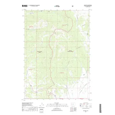
2017 Map of Pass Peak
USGS Topo · Published 2017About this map
Pass Peak stands as a central landmark in this high-elevation landscape within Sublette County, Wyoming. The terrain is defined by dramatic ridgelines including East Rim and The Rim, which separate complex drainages such as Jack Creek and Miner Cr. The map captures a wilderness area managed between the Teton National Forest and Bridger National Forest. Local ranching and backcountry history is evidenced by features like Loomis Park and Flying A Ranch Rd. High-altitude water sources are scattered throughout, from Fisherman Cr Lake to the headwaters in Twin Creek Basin. Small-scale features such as Beaver Dam Draw and Jack Creek Spring indicate the critical role of water management in this high-country environment.
Find a feature on this map
38 named features on this map. Tap any name to fly to it.
Don’t see what you’re looking for? This feature index may not catch every label — zoom into the map to look around manually.
Map Details
Editions of this 2017 Pass Peak Map
This is the sole edition of this map. No revisions or reprints were ever made.
Other maps of this area

1907 · Gros Ventre
USGS Topo · 1:125,000

1910 · Gros Ventre
USGS Topo · 1:125,000

1955 · Driggs
USGS Topo · 1:250,000

1958 · Driggs
USGS Topo · 1:250,000

1962 · Driggs
USGS Topo · 1:250,000
1966 · Warren Bridge
USGS Topo · 1:24,000
1966 · Pass Peak
USGS Topo · 1:24,000
1966 · Dodge Butte
USGS Topo · 1:24,000
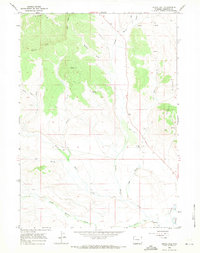
1966 · Signal Hill
USGS Topo · 1:24,000
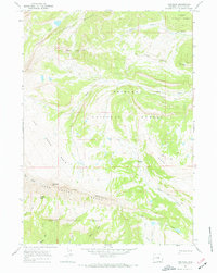
1967 · Tosi Peak
USGS Topo · 1:24,000