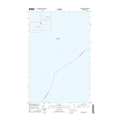
2014 Map of Passage Island
USGS Topo · Published 2014About this map
Passage Island stands as a solitary landmass surrounded by the waters of Lake Superior in this northernmost reach of Michigan. Most of the territory shown on this sheet is defined by the expansive maritime boundaries of Isle Royale National Park, emphasizing the area's isolation and its role as a critical navigational waypoint. The island itself is sparsely labeled, focused on its topography and position relative to the main archipelago of Isle Royale to the southwest. This survey highlights the extreme coastal character of Keweenaw County, where the landscape is almost entirely water, serving as a specialized record of the remote shoreline and international waterway boundary at the beginning of the 21st century.
Find a feature on this map
3 named features on this map. Tap any name to fly to it.
Don’t see what you’re looking for? This feature index may not catch every label — zoom into the map to look around manually.
Map Details
Editions of this 2014 Passage Island Map
This is the sole edition of this map. No revisions or reprints were ever made.
Other maps of this area

1895 · Passage Island
USGS Topo · 1:62,500

1959 · Fort William
USGS Topo · 1:250,000

1968 · Fort William
USGS Topo · 1:250,000

1985 · Todd Harbor
USGS Topo · 1:100,000
1985 · Rock Harbor Lodge
USGS Topo · 1:24,000
1985 · Passage Island
USGS Topo · 1:24,000
2011 · Passage Island
USGS Topo · 1:24,000
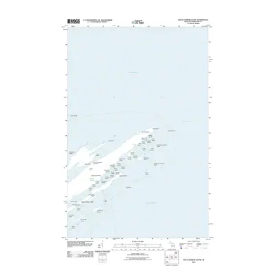
2011 · Rock Harbor Lodge
USGS Topo · 1:24,000
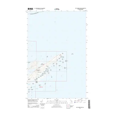
2014 · Rock Harbor Lodge
USGS Topo · 1:24,000
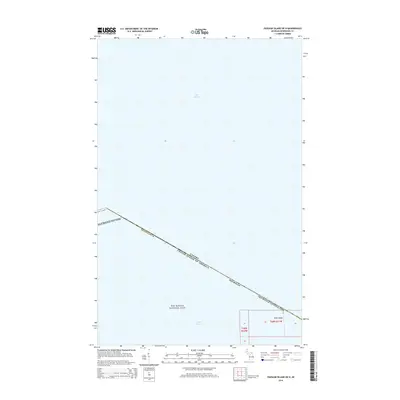
2014 · Passage Island OE N
USGS Topo · 1:24,000