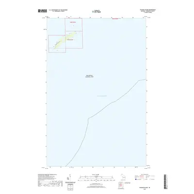
2019 Map of Passage Island
USGS Topo · Published 2019About this map
Isle Royale National Park encompasses the vast waters of Lake Superior in this specialized maritime and island survey. The map focuses on the northeastern reaches of the park, where a narrow strip of land is bisected by the Passage Island Trail. This isolated terrain is primarily defined by its nautical significance, situated along the shipping lanes of the Great Lakes. The map detail is concentrated within the township boundaries of t67n r32w and t68n r32w, documenting the specific elevation and coastline of this remote outpost. The absence of roads or urban development underscores the area's role as a protected wilderness and navigational landmark for mariners.
Find a feature on this map
5 named features on this map. Tap any name to fly to it.
Don’t see what you’re looking for? This feature index may not catch every label — zoom into the map to look around manually.
Map Details
Editions of this 2019 Passage Island Map
This is the sole edition of this map. No revisions or reprints were ever made.
Other maps of this area

1895 · Passage Island
USGS Topo · 1:62,500

1959 · Fort William
USGS Topo · 1:250,000

1968 · Fort William
USGS Topo · 1:250,000

1985 · Todd Harbor
USGS Topo · 1:100,000
1985 · Rock Harbor Lodge
USGS Topo · 1:24,000
1985 · Passage Island
USGS Topo · 1:24,000
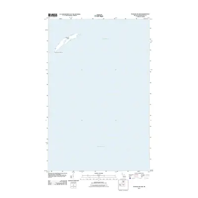
2011 · Passage Island
USGS Topo · 1:24,000
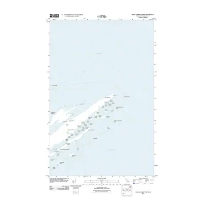
2011 · Rock Harbor Lodge
USGS Topo · 1:24,000
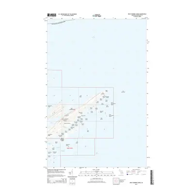
2014 · Rock Harbor Lodge
USGS Topo · 1:24,000
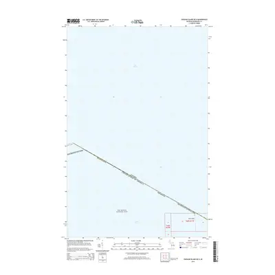
2014 · Passage Island OE N
USGS Topo · 1:24,000