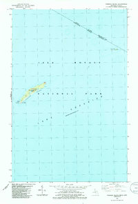
1985 Map of Passage Island
USGS Topo · Published 1986About this map
Passage Island stands as a lonely outpost within the northeastern reaches of Isle Royale National Park in Lake Superior. This 1985 survey captures the maritime infrastructure essential for navigating these northern waters, including a Lighthouse, Radio Towers, and a Heliport clustered on the island's southwestern end. The map also delineates the international boundary between Canada and the United States, as well as the provincial and state line separating Ontario and Michigan. Further east, the small cluster of the Gull Islands emerges from the water, marking some of the most remote territory in Houghton Twp. The topography is defined by the stark isolation of the islands, with soundings and depth curves indicating the underwater terrain of the surrounding lake.
Find a feature on this map
11 named features on this map. Tap any name to fly to it.
Don’t see what you’re looking for? This feature index may not catch every label — zoom into the map to look around manually.
Map Details
Editions of this 1985 Passage Island Map
This is the sole edition of this map. No revisions or reprints were ever made.
Other maps of this area

1895 · Passage Island
USGS Topo · 1:62,500

1959 · Fort William
USGS Topo · 1:250,000

1968 · Fort William
USGS Topo · 1:250,000

1985 · Todd Harbor
USGS Topo · 1:100,000
1985 · Rock Harbor Lodge
USGS Topo · 1:24,000
2011 · Passage Island
USGS Topo · 1:24,000
2011 · Rock Harbor Lodge
USGS Topo · 1:24,000
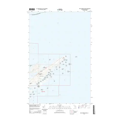
2014 · Rock Harbor Lodge
USGS Topo · 1:24,000
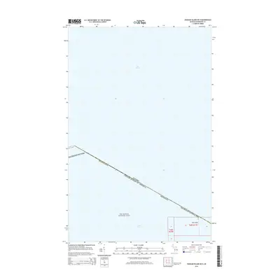
2014 · Passage Island OE N
USGS Topo · 1:24,000
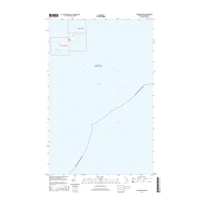
2014 · Passage Island
USGS Topo · 1:24,000