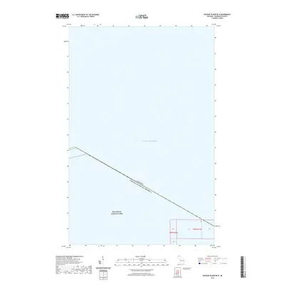
2019 Map of Passage Island OE N
USGS Topo · Published 2019About this map
Lake Superior dominates this maritime survey, illustrating the international aquatic boundary where the United States and Canada meet. The map captures the northernmost aquatic reaches of Isle Royale National Park, where the remote island wilderness transitions into the vast open waters of the Great Lakes. While primarily a hydrographic and jurisdictional record, the sheet includes public land survey system designations such as t68n r31w and t68n r32w, which provide essential coordinates for researchers and maritime historians tracking the legal divisions of this wilderness archipelago. The isolation of the area is underscored by the lack of terrestrial features, focusing instead on the significant international border cutting across the water north of the main island chain.
Find a feature on this map
5 named features on this map. Tap any name to fly to it.
Don’t see what you’re looking for? This feature index may not catch every label — zoom into the map to look around manually.
Map Details
Editions of this 2019 Passage Island OE N Map
This is the sole edition of this map. No revisions or reprints were ever made.
Other maps of this area

1895 · Passage Island
USGS Topo · 1:62,500

1959 · Fort William
USGS Topo · 1:250,000

1968 · Fort William
USGS Topo · 1:250,000

1985 · Todd Harbor
USGS Topo · 1:100,000
1985 · Rock Harbor Lodge
USGS Topo · 1:24,000
1985 · Passage Island
USGS Topo · 1:24,000
2011 · Passage Island
USGS Topo · 1:24,000
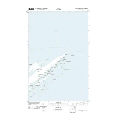
2011 · Rock Harbor Lodge
USGS Topo · 1:24,000
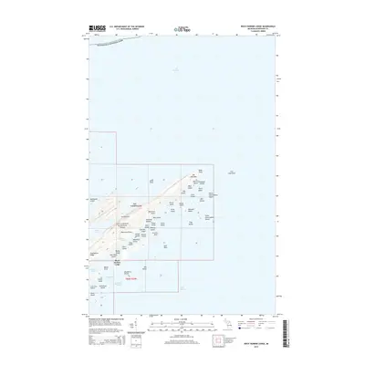
2014 · Rock Harbor Lodge
USGS Topo · 1:24,000
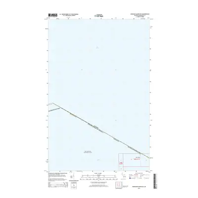
2014 · Passage Island OE N
USGS Topo · 1:24,000