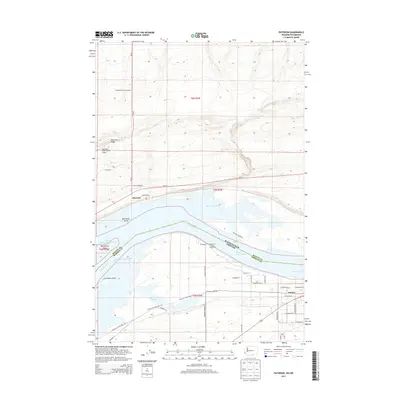
2013 Map of Paterson
USGS Topo · Published 2013About this map
The Columbia River serves as the central artery and state boundary in this 2013 survey, separating Benton County, Washington, from Morrow County, Oregon. On the northern banks, the settlement of Paterson sits below the elevation of Paterson Ridge, supported by local infrastructure like the Columbia Crest Winery Airport and the Wa-14 corridor. The river's reach is defined by a complex of islands and waterways, including Big Blalock Island, Monument Island, and the sheltered waters of Paterson Slough.
Find a feature on this map
43 named features on this map. Tap any name to fly to it.
Don’t see what you’re looking for? This feature index may not catch every label — zoom into the map to look around manually.
Map Details
Editions of this 2013 Paterson Map
This is the sole edition of this map. No revisions or reprints were ever made.
Other maps of this area

1906 · Blalock Island
USGS Topo · 1:125,000

1908 · Blalock Island
USGS Topo · 1:125,000

1908 · Umatilla
USGS Topo · 1:125,000

1915 · Prosser
USGS Topo · 1:125,000

1917 · Pasco
USGS Topo · 1:125,000

1917 · Prosser
USGS Topo · 1:125,000

1953 · Pendleton
USGS Topo · 1:250,000

1953 · Walla Walla
USGS Topo · 1:250,000

1956 · Pendleton
USGS Topo · 1:250,000

1958 · Walla Walla
USGS Topo · 1:250,000