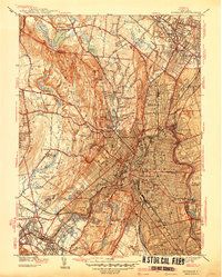
1938 Map of Paterson
USGS Topo · Published 1938About this map
Paterson and its surrounding industrial and suburban landscape are captured here just before the 1940s, a period of significant growth and early aviation. The city's dense urban grid, centered on City Hall and the Post Office, transitions into the specialized campuses and institutions that defined the regional economy, such as the Aeronautical Plant and the State Teachers College. The Passaic River serves as the dominant geographic feature, winding through the industrial core and past substantial green spaces like Eastside Park and West Side Park.
Find a feature on this map
94 named features on this map. Tap any name to fly to it.
Don’t see what you’re looking for? This feature index may not catch every label — zoom into the map to look around manually.
Map Details
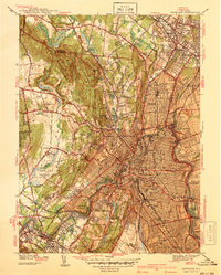
Editions of this 1938 Paterson Map
2 editions found
Other maps of this area

1888 · Morristown
USGS Topo · 1:62,500

1888 · Paterson
USGS Topo · 1:62,500

1891 · Greenwood Lake
USGS Topo · 1:62,500

1891 · Ramapo
USGS Topo · 1:62,500

1892 · Paterson
USGS Topo · 1:62,500

1893 · Greenwood Lake
USGS Topo · 1:62,500

1893 · Ramapo
USGS Topo · 1:62,500

1894 · Morristown
USGS Topo · 1:62,500

1898 · Morristown
USGS Topo · 1:62,500

1898 · Paterson
USGS Topo · 1:62,500