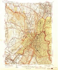
1944 Map of Paterson
USGS Topo · Published 1944About this map
The industrial hub of Paterson and its surrounding residential boroughs are shown here during the height of the second World War, as the city densifies along the curves of the Passaic River. While the urban core is tightly gridded, the landscape transitions sharply into the more open terrain of West Paterson, Totowa, and the rising elevations of High Mtn. This era is defined by a reliance on the Erie RR and DL & W RR, which connect the factory districts to outlying communities like Hawthorne and Glen Rock.
Find a feature on this map
85 named features on this map. Tap any name to fly to it.
Don’t see what you’re looking for? This feature index may not catch every label — zoom into the map to look around manually.
Map Details
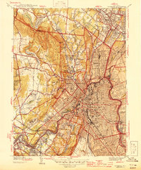
Editions of this 1944 Paterson Map
2 editions found
Other maps of this area

1888 · Morristown
USGS Topo · 1:62,500

1888 · Paterson
USGS Topo · 1:62,500

1891 · Greenwood Lake
USGS Topo · 1:62,500

1891 · Ramapo
USGS Topo · 1:62,500

1892 · Paterson
USGS Topo · 1:62,500

1893 · Greenwood Lake
USGS Topo · 1:62,500

1893 · Ramapo
USGS Topo · 1:62,500

1894 · Morristown
USGS Topo · 1:62,500

1898 · Morristown
USGS Topo · 1:62,500

1898 · Paterson
USGS Topo · 1:62,500