Loading...
Loading map...1960 Map of Patillas
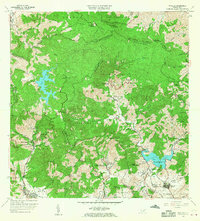
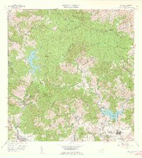
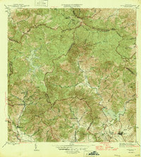
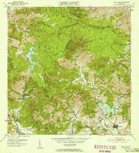
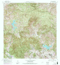
USGS Topo · Published 1962This historical map portrays the area of Patillas in 1960, primarily covering Patillas Municipio as well as portions of Caguas Municipio, Guayama Municipio, Cayey Municipio, Yabucoa Municipio, Arroyo Municipio, and San Lorenzo Municipio. Featuring a scale of 1:20000, this map provides a highly detailed snapshot of the terrain, roads, buildings, counties, and historical landmarks in the Patillas region at the time. Published in 1962, it is one of 2 known editions of this map due to revisions or reprints.
Map Details
Date Portrayed1960
Date Published1962
PublisherU.S. Geological Survey
Map TypeTopographic
Scale1:20000
Physical Dimensions29.2 x 32.3 inches
Editions of this 1960 Patillas Map
2 editions found
Historical Maps of Sector Betancourt Through Time
4 maps found
Featured Locations
- Villa Kike, San Lorenzo
- Sector Los Meléndez, Cayey
- Sector Conejo Blanco, Patillas
- Patillas, Patillas
- Villa Real, Patillas
Source Details
SourceU.S. Geological Survey
CopyrightPublic Domain