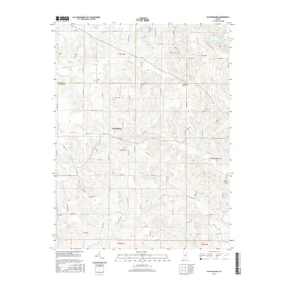
2016 Map of Patricksburg
USGS Topo · Published 2016About this map
Patricksburg serves as the central hub of this Owen County landscape, where a network of county roads like S Co Rd 875 E and Mitten Rd connects scattered farmsteads and rural landmarks. The terrain is defined by distinct elevations such as Satan Hill, Hurricane Hill, and Corbin Hill, while the drainage system is dominated by the many branches of Sixmile Creek and W Fork Fish Creek.
Find a feature on this map
98 named features on this map. Tap any name to fly to it.
Don’t see what you’re looking for? This feature index may not catch every label — zoom into the map to look around manually.
Map Details
Editions of this 2016 Patricksburg Map
This is the sole edition of this map. No revisions or reprints were ever made.
Other maps of this area

1908 · Clay City
USGS Topo · 1:48,000

1908 · Bloomfield
USGS Topo · 1:62,500

1910 · Clay City
USGS Topo · 1:62,500

1938 · Coal City
USGS Topo · 1:24,000

1948 · Coal City
USGS Topo · 1:24,000

1950 · Arney
USGS Topo · 1:24,000
1953 · Coal City
USGS Topo · 1:24,000

1953 · Indianapolis
USGS Topo · 1:250,000

1956 · Indianapolis
USGS Topo · 1:250,000

1956 · Cataract
USGS Topo · 1:24,000