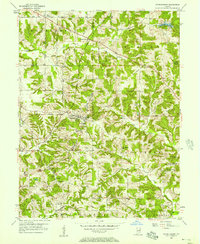
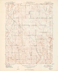
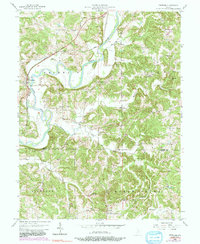
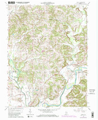
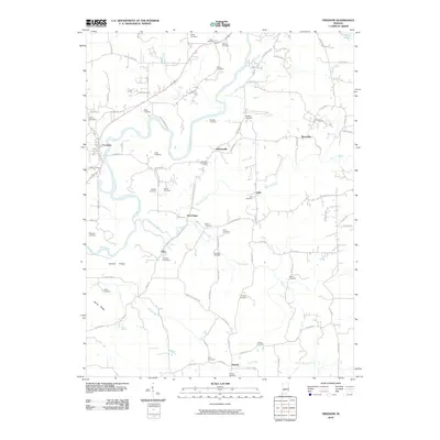
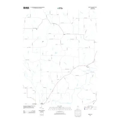
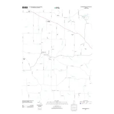
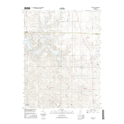
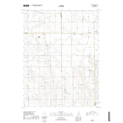
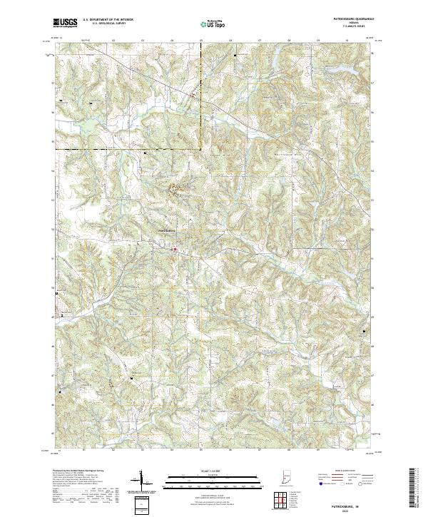
1956 Map of Patricksburg
USGS Topo · Published 1969About this map
Patricksburg and its surrounding townships in Owen County are captured here during a period of transition in the mid-1950s. The landscape is defined by the Monon Line railroad and a network of rural schools and churches that served the scattered homesteads. Notable community landmarks include the Township High Sch and Splinter Ridge Sch, alongside several country houses of worship such as St Pauls Ch and Mt Zion Ch. This survey provides a look at the local geography before many small rural institutions consolidated. Evidence of the region's industrial activity is present in the form of a Strip Mine and the topography of the many creek basins like Sixmile Creek and Fish Creek. For genealogists, the map is particularly valuable for its precise location of numerous family and community burial grounds, including Snoddy Cem, Crouse Cem, and Olive Hill Cem.
Find a feature on this map
40 named features on this map. Tap any name to fly to it.
Don’t see what you’re looking for? This feature index may not catch every label — zoom into the map to look around manually.
Map Details
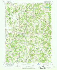
Editions of this 1956 Patricksburg Map
2 editions found
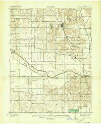
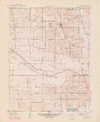
Historical Maps of Six Points Through Time
47 maps found
1938 Coal City
Owen County, IN
1948 Coal City
Owen County, IN
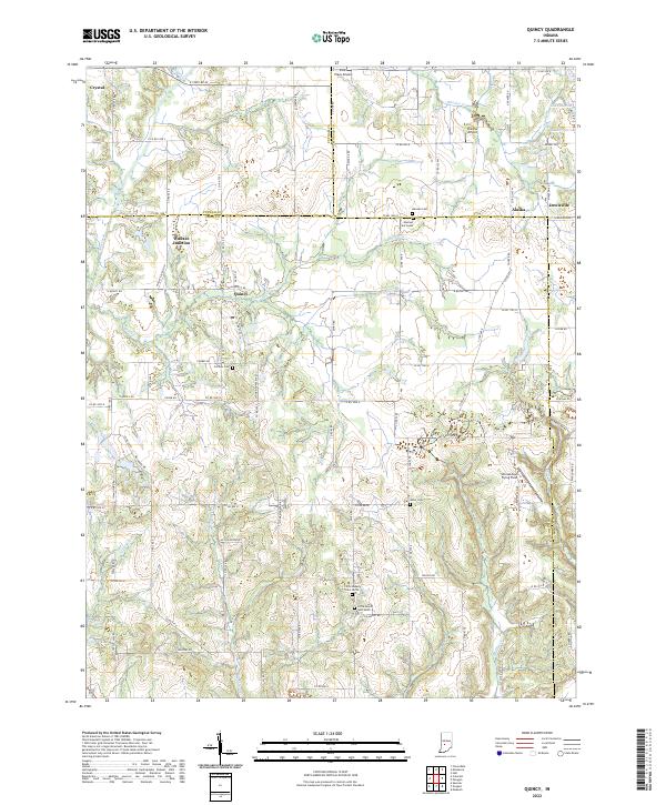
1949 Quincy
Owen County, IN
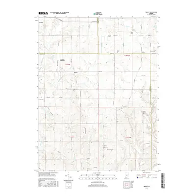
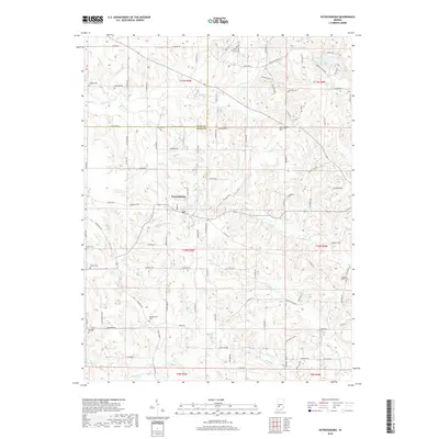
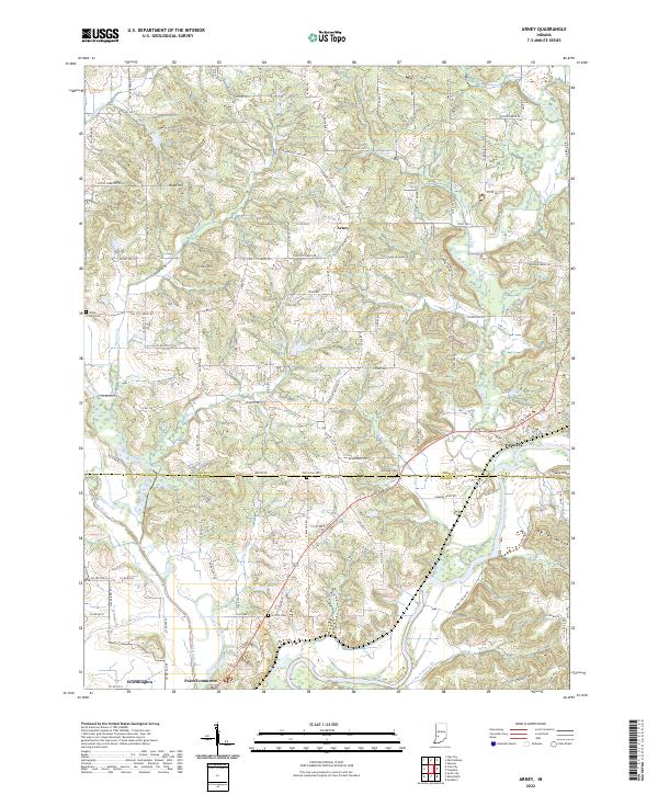
1950 Arney
Owen County, IN
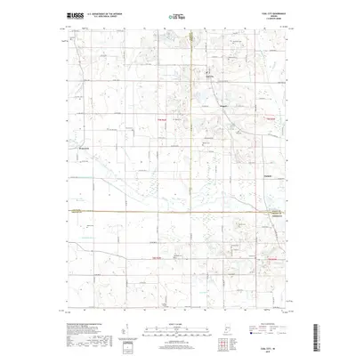
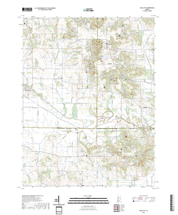
1953 Coal City
Owen County, IN
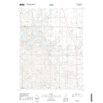
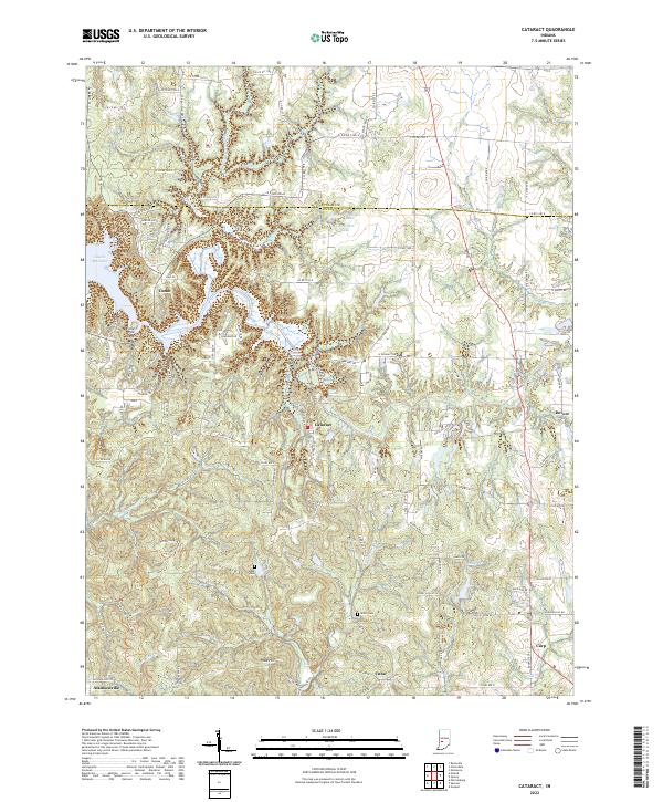
1956 Cataract
Owen County, IN
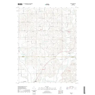
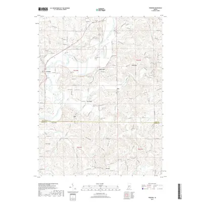
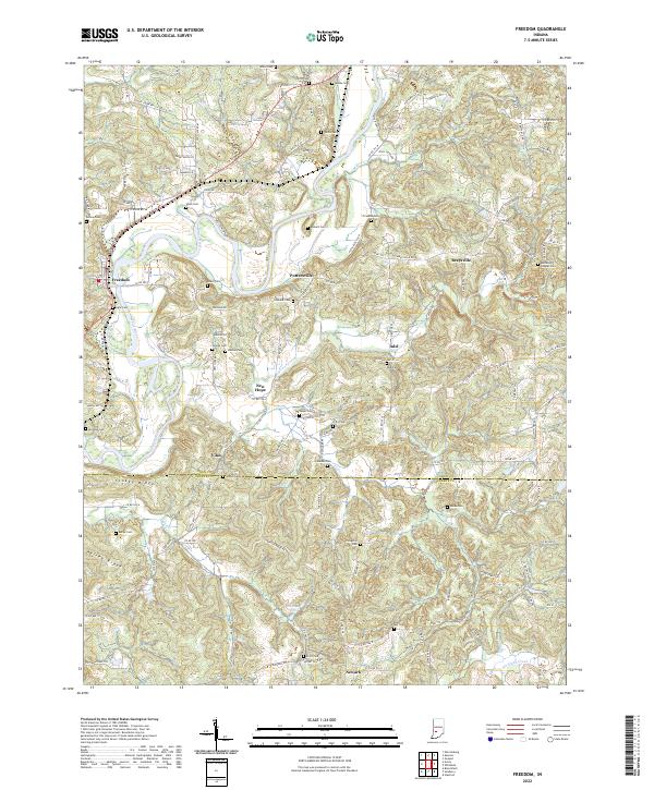
1956 Freedom
Owen County, IN
1956 Patricksburg
Owen County, IN
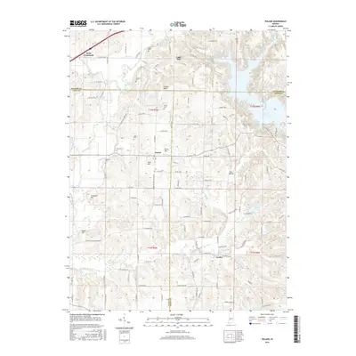
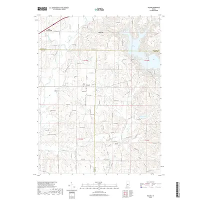
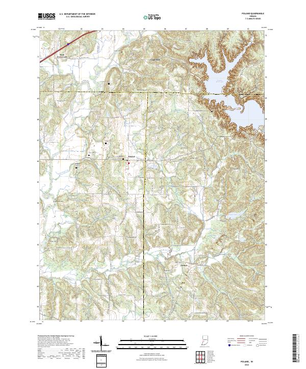
1957 Poland
Owen County, IN
1958 Quincy
Owen County, IN
1963 Coal City
Owen County, IN
1966 Arney
Owen County, IN
2010 Arney
Owen County, IN
2010 Cataract
Owen County, IN
2010 Coal City
Owen County, IN
2010 Freedom
Owen County, IN
2010 Patricksburg
Owen County, IN
2010 Poland
Owen County, IN
2010 Quincy
Owen County, IN
2013 Arney
Owen County, IN
2013 Cataract
Owen County, IN
2013 Coal City
Owen County, IN
2013 Freedom
Owen County, IN
2013 Patricksburg
Owen County, IN
2013 Poland
Owen County, IN
2013 Quincy
Owen County, IN
2016 Arney
Owen County, IN
2016 Cataract
Owen County, IN
2016 Coal City
Owen County, IN
2016 Freedom
Owen County, IN
2016 Patricksburg
Owen County, IN
2016 Poland
Owen County, IN
2016 Quincy
Owen County, IN
2019 Arney
Owen County, IN
2019 Cataract
Owen County, IN
2019 Coal City
Owen County, IN
2019 Freedom
Owen County, IN
2019 Patricksburg
Owen County, IN
2019 Poland
Owen County, IN
2019 Quincy
Owen County, IN
2022 Arney
Owen County, IN
2022 Cataract
Owen County, IN
2022 Coal City
Owen County, IN
2022 Freedom
Owen County, IN
2022 Patricksburg
Owen County, IN
2022 Poland
Owen County, IN
2022 Quincy
Owen County, IN