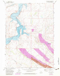
1971 Map of Pats Bottom
USGS Topo · Published 1983About this map
Industrial resource extraction and water management define this landscape along the North Platte River during the early 1970s. The map centers on the northern reach of the Seminoe Reservoir, where the water fills the winding canyon of the river valley. Significant open-pit mining operations dominate the southern portion of the sheet, with the massive Seminoe Strip Mine and another Strip Mine cutting across the high ground of Monument Ridge and Edson Ridge. A network of irrigation infrastructure, including Saint Marys Ditch, Middle Ditch, and North Ditch, illustrates the complex engineering required to move water from the river and the smaller Steel Granary Reservoir to higher elevations. The eponymous Pats Bottom serves as a distinct low-lying landmark along the western shoreline, providing a clear contrast to the heavily engineered mining terrain nearby.
Find a feature on this map
16 named features on this map. Tap any name to fly to it.
Don’t see what you’re looking for? This feature index may not catch every label — zoom into the map to look around manually.
Map Details
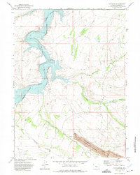
Editions of this 1971 Pats Bottom Map
2 editions found
Other maps of this area

1893 · Fort Steele
USGS Topo · 1:125,000

1914 · Hanna
USGS Topo · 1:62,500

1914 · Walcott
USGS Topo · 1:62,500

1953 · Seminoe Dam SW
USGS Topo · 1:24,000

1953 · Seminoe Dam SE
USGS Topo · 1:24,000

1953 · Schneider Ridge
USGS Topo · 1:24,000

1954 · Rawlins
USGS Topo · 1:250,000

1955 · Casper
USGS Topo · 1:250,000

1958 · Rawlins
USGS Topo · 1:250,000

1958 · Casper
USGS Topo · 1:250,000